
Eskilstuna 339:2, hällristning i Södermanland
Location: Eskilstuna Municipality
GPS coordinates: 59.40887,16.51231
Latest update: August 5, 2025 22:00

Volvo CE Arena
3.3 km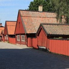
Rademachersmedjorna
3.9 km
Vattenpalatset
4 km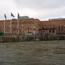
Munktellmuseet
3.6 km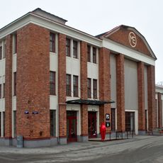
Eskilstuna konstmuseum
3.5 km
Munktellbadet
3.6 km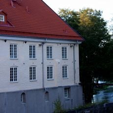
Torshälla kvarn
2.7 km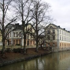
Eskilstuna City Museum
3.8 km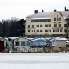
Balsta Musikslott
3.8 km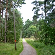
Gyllenhielmska leden
2.5 km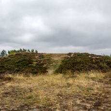
Kung Inges hög
3.8 km
Ebelingmuseet
2.5 km
Torshälla rådhus
2.8 km
Vallby Church
3.4 km
Faktoriet
3.8 km
Nybron, Eskilstuna
4 km
Sankt Pauli kyrka, Eskilstuna
2.5 km
Årby
1.9 km
Södermanlands runinskrifter 91
2.9 km
Bergströmska gården
2.8 km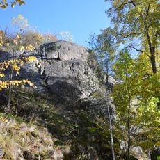
Nyby hillfort
3.2 km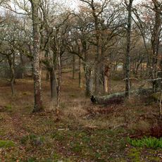
Ekbacken
2.9 km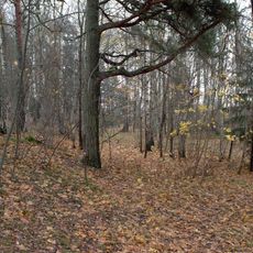
Gökstenens naturreservat
2.1 km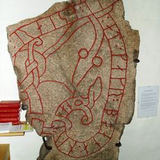
Södermanlands runinskrifter 314
2.9 km
Konstmuseum
3.5 km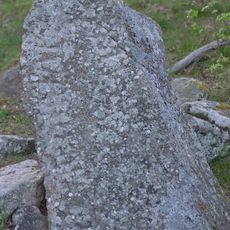
Södermanland Runic Inscription 119
2.1 km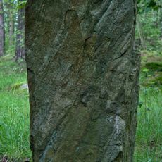
Eskilstuna 511:2
2.5 km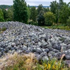
Vestaberget
2.6 kmReviews
Visited this place? Tap the stars to rate it and share your experience / photos with the community! Try now! You can cancel it anytime.
Discover hidden gems everywhere you go!
From secret cafés to breathtaking viewpoints, skip the crowded tourist spots and find places that match your style. Our app makes it easy with voice search, smart filtering, route optimization, and insider tips from travelers worldwide. Download now for the complete mobile experience.

A unique approach to discovering new places❞
— Le Figaro
All the places worth exploring❞
— France Info
A tailor-made excursion in just a few clicks❞
— 20 Minutes