
En tall söder om Gubbergsmossen, naturminne i Enköpings kommun
Location: Enköping Municipality
Inception: May 11, 1957
GPS coordinates: 59.82834,16.88481
Latest update: May 14, 2025 22:26
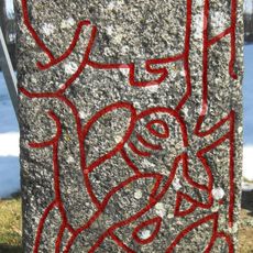
Altuna Runestone
2.8 km
Princes Street Gardens Runestone
12.6 km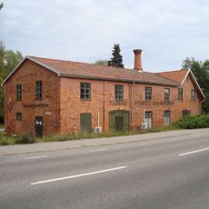
Heby tegelbruksmuseum
12.2 km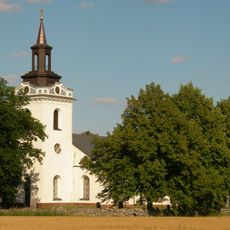
Torstuna Church
13.1 km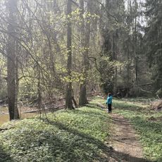
Hårsbäcksdalen
4.8 km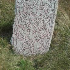
Upplands runinskrifter 1175
12.4 km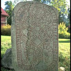
Upplands runinskrifter 1163
5.2 km
Uppland Runic Inscription 1158
6.9 km
Sevalla Church
13.8 km
Ramsjön
12 km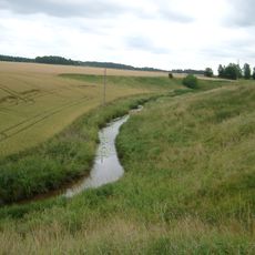
Skattmansöådalen
9.3 km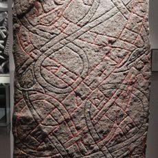
Rune stone Ashmolean AN1997.1
6.8 km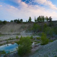
Torslundagropen
13.6 km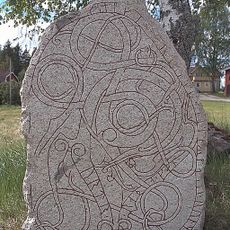
Upplands runinskrifter 1167
10.8 km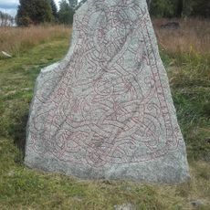
Upplands runinskrifter 1174
12.4 km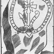
Uppland Runic Inscription 1153
5.5 km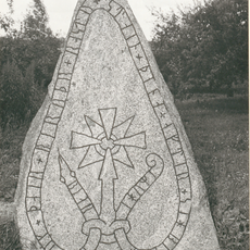
Uppland Runic Inscription 1172
8.7 km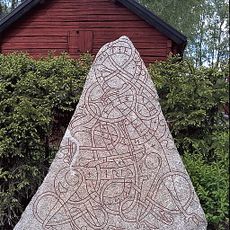
U 1152
12.8 km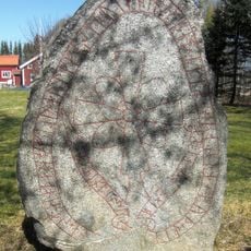
Uppland Runic Inscription 1151
12.1 km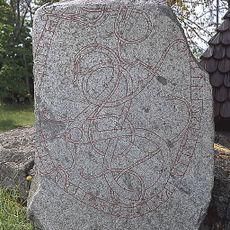
Upplands runinskrifter 1168
12.7 km
Uppland Runic Inscription 1154
7.7 km
Tärna naturreservat
8.5 km
Upplands runinskrifter 1157
9.6 km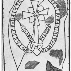
Uppland Runic Inscription 1156
9.4 km
Simtuna tingslag
6.2 km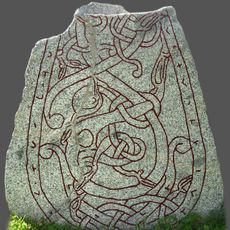
Uppland Runic Inscription 1170
9.3 km
Norrby 47:1
12.8 km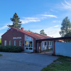
Fjärdhundra bibliotek
6.3 kmReviews
Visited this place? Tap the stars to rate it and share your experience / photos with the community! Try now! You can cancel it anytime.
Discover hidden gems everywhere you go!
From secret cafés to breathtaking viewpoints, skip the crowded tourist spots and find places that match your style. Our app makes it easy with voice search, smart filtering, route optimization, and insider tips from travelers worldwide. Download now for the complete mobile experience.

A unique approach to discovering new places❞
— Le Figaro
All the places worth exploring❞
— France Info
A tailor-made excursion in just a few clicks❞
— 20 Minutes