
Northlands, building in Funtington, Chichester, West Sussex, UK
Location: Funtington
Location: Funtington
GPS coordinates: 50.85107,-0.81306
Latest update: June 14, 2025 12:55
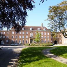
County Hall, Chichester
2.6 km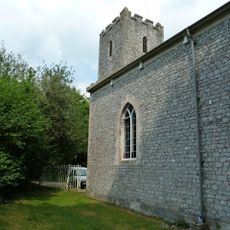
Sennicotts
639 m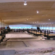
Fishbourne Roman Palace
1.6 km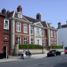
The John Edes House
2.6 km
Brandy Hole Copse
1.6 km
Church of St Paul
2.6 km
Church of St Peter and St Mary
2 km
Providence Chapel
2.6 km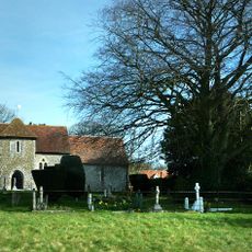
Church of St Andrew
2.5 km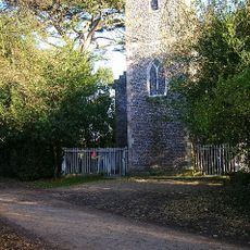
St Mary's Chapel
779 m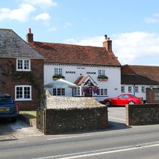
The Horse And Groom Public House
2.1 km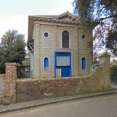
Church of St Bartholomew
2.5 km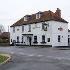
The Bull's Head Inn
1.8 km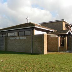
St Wilfrid’s Church
2 km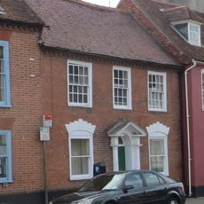
49, West Street
2.7 km
Pendrills
1.9 km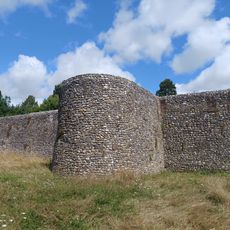
City Walls
2.6 km
28, West Street
2.6 km
29, West Street
2.6 km
1, Broyle Road
2.6 km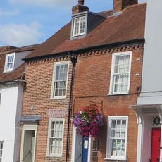
30 And 31, West Street
2.6 km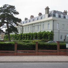
The Royal West Sussex Hospital
2.4 km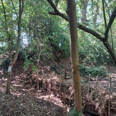
Chichester Dyke, Broyle earthwork, section extending 430yds (393m) through East Broyle Copse, to railway, and earthwork extendin
1.6 km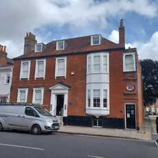
Langley House
2.6 km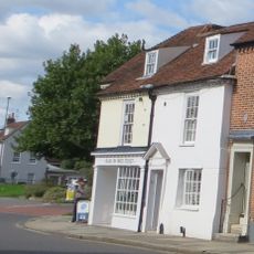
32 And 33, West Street
2.6 km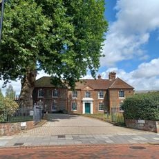
Westgate House
2.4 km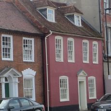
48, West Street
2.6 km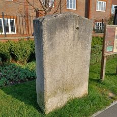
The Smugglers' Stone
2.4 kmReviews
Visited this place? Tap the stars to rate it and share your experience / photos with the community! Try now! You can cancel it anytime.
Discover hidden gems everywhere you go!
From secret cafés to breathtaking viewpoints, skip the crowded tourist spots and find places that match your style. Our app makes it easy with voice search, smart filtering, route optimization, and insider tips from travelers worldwide. Download now for the complete mobile experience.

A unique approach to discovering new places❞
— Le Figaro
All the places worth exploring❞
— France Info
A tailor-made excursion in just a few clicks❞
— 20 Minutes