
6, High Street, building in Tenterden, Ashford, Kent, UK
Location: Tenterden
Address: 6, High Street, Tenterden, Ashford, Kent, TN30
GPS coordinates: 51.06906,0.68883
Latest update: March 25, 2025 21:43
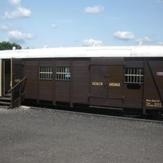
Cavell Van
299 m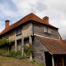
Smallhythe Place
3.5 km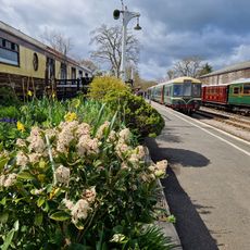
Kent & East Sussex Railway
294 m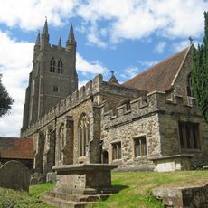
Parish Church of St Mildred
118 m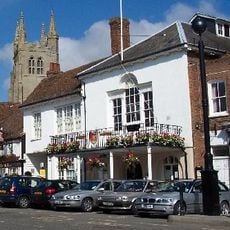
Tenterden Town Hall
70 m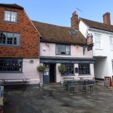
The Woolpack Hotel
87 m
National Trust
3.5 km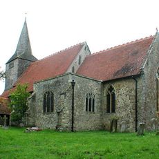
Parish Church of St Mary
4.2 km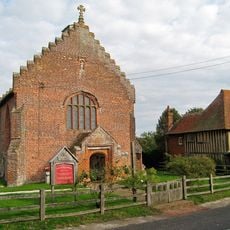
Church of St John the Baptist
3.4 km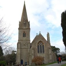
Church of St Michael
2 km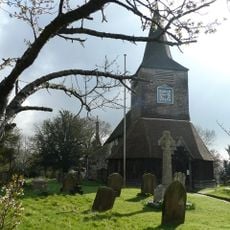
War Memorial in the Grounds of Church of St Mary the Virgin
4.2 km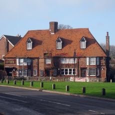
The Chequers Inn
4.2 km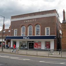
Embassy Cinema
45 m
29, 31 and 33, High Street
96 m
18 And 20, High Street
50 m
Hathewolden Grange
4.2 km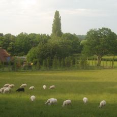
Pigeon Hoo
2.4 km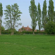
Ashenden
2.2 km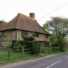
Priest's House
3.4 km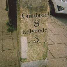
Milestone Opposite No 53
178 m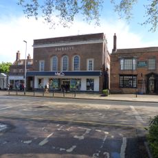
1 and 1A, High Street
52 m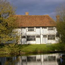
Maynard's Farmhouse
1.7 km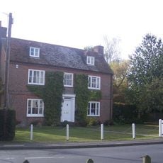
Lion House
4.2 km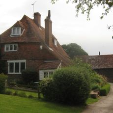
Diamond House
4 km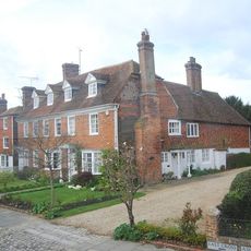
15 And 17, East Cross
149 m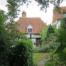
Pittlesden Gatehouse
343 m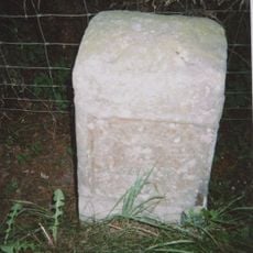
Milestone, village of High Halden
4 km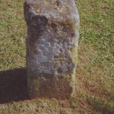
Milestone, Ashford Road; at jct with Chalk Avenue
1.2 kmReviews
Visited this place? Tap the stars to rate it and share your experience / photos with the community! Try now! You can cancel it anytime.
Discover hidden gems everywhere you go!
From secret cafés to breathtaking viewpoints, skip the crowded tourist spots and find places that match your style. Our app makes it easy with voice search, smart filtering, route optimization, and insider tips from travelers worldwide. Download now for the complete mobile experience.

A unique approach to discovering new places❞
— Le Figaro
All the places worth exploring❞
— France Info
A tailor-made excursion in just a few clicks❞
— 20 Minutes