Moonies Hill, locality in Broomehill-Tambellup, Western Australia, Australia
Location: Shire of Broomehill-Tambellup
Location: Western Australia
GPS coordinates: -34.11895,117.53746
Latest update: November 24, 2025 11:17
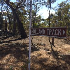
Holland Track
33.3 km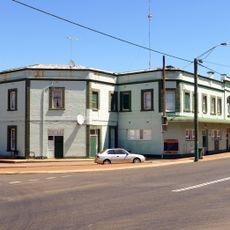
Broomehill Hotel
32 km
St Elizabeth's Anglican Church
31.7 km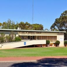
Broomehill shire offices
32 km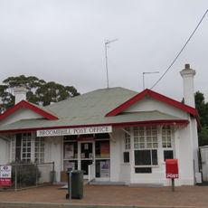
Broomehill Post Office and Quarters
31.8 km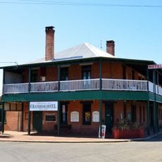
Cranbrook Hotel, Western Australia
19.7 km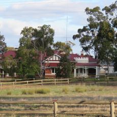
Telyarup Homestead
44.4 km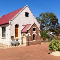
Broomehill Museum
31.9 km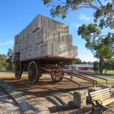
Centenary of Federation Wool Wagon, Kojonup
46.9 km
Doris Haynes Memorial Park
42.9 km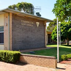
Cranbrook shire offices
19.7 km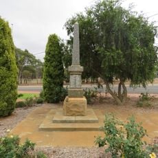
Broomehill War Memorial
32 km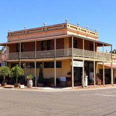
Jones's Buildings
31.8 km
Broomehill Shire Hall and Road Board Offices (former)
32 km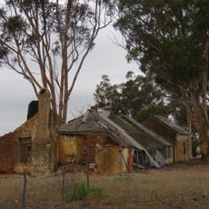
Martinup
39.1 km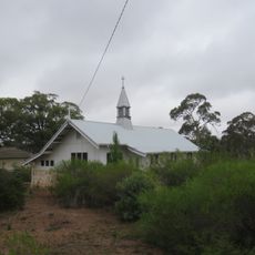
St Mildred's Anglican Church, Tenterden
27.1 km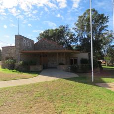
RSL Hall and War Memorial, Kojonup
46.9 km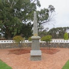
Cranbrook War Memorial
19.8 km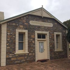
Cranbrook Road Board Hall
19.8 km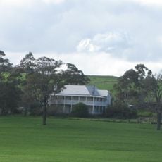
Hassell Homestead
43.5 km
Tenterden Agricultural Hall
27.1 km
The Kodja Place Rose Maze
46.7 km
Kendenup Country Club
42.2 km
Kennys Tank
36.2 km
Glen Hawkers Bulldozer
42.1 km
The Kodja Place Rose Maze
46.7 km
Western Lookout
39.5 km
Memorial
27.5 kmReviews
Visited this place? Tap the stars to rate it and share your experience / photos with the community! Try now! You can cancel it anytime.
Discover hidden gems everywhere you go!
From secret cafés to breathtaking viewpoints, skip the crowded tourist spots and find places that match your style. Our app makes it easy with voice search, smart filtering, route optimization, and insider tips from travelers worldwide. Download now for the complete mobile experience.

A unique approach to discovering new places❞
— Le Figaro
All the places worth exploring❞
— France Info
A tailor-made excursion in just a few clicks❞
— 20 Minutes