
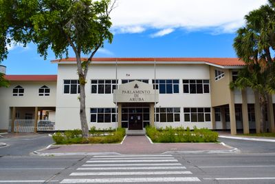
Aruba Parliament building, building in Oranjestad, Aruba
Location: Oranjestad
Address: L.G. Smith Boulevard 70
GPS coordinates: 12.51780,-70.03630
Latest update: March 4, 2025 05:38
St. Francis of Assisi Church, Oranjestad
589 m
Beth Israel Synagogue
846 m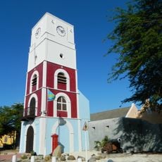
Historical Museum
61 m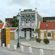
Museo Arqueologico Nacional Aruba
402 m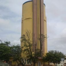
Watertower Oranjestad
452 m
Censo / Ex Hotel Colombia
144 m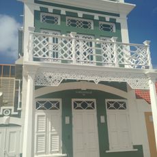
Het Groene Huis
401 m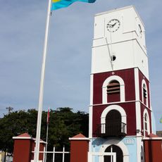
Fort Zoutman
76 m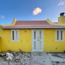
Koningstraat 29
556 m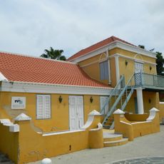
Stadskunukuhuis
381 m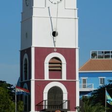
Willem III Tower
63 m
Reina Beatrix School
569 m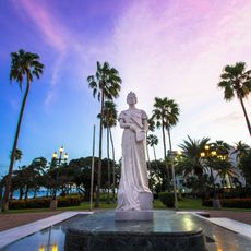
Statue of Princess Wilhelmina
232 m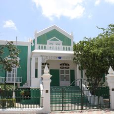
Stadhuis, Oranjestad, Aruba
111 m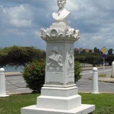
Boy Ecury memorial
547 m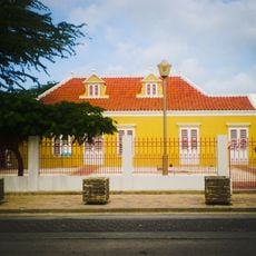
Geel huisje (Yellow house)
523 m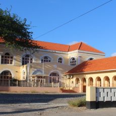
Maria Convent
578 m
School 1888
110 m
Ex landskantoor
155 m
Former harbour office
150 m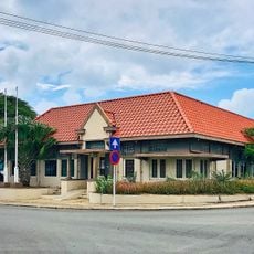
2nd DOW Office
211 m
Government Offices
124 m
Ex Dow Office
717 m
Ex Botica Aruba
251 m
Huisje Wild
391 m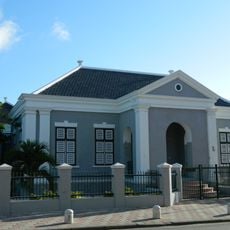
Public school (1888)
110 m
Courthouse
427 m
Waterreservoir
469 mVisited this place? Tap the stars to rate it and share your experience / photos with the community! Try now! You can cancel it anytime.
Discover hidden gems everywhere you go!
From secret cafés to breathtaking viewpoints, skip the crowded tourist spots and find places that match your style. Our app makes it easy with voice search, smart filtering, route optimization, and insider tips from travelers worldwide. Download now for the complete mobile experience.

A unique approach to discovering new places❞
— Le Figaro
All the places worth exploring❞
— France Info
A tailor-made excursion in just a few clicks❞
— 20 Minutes