Moorverlandungsgebiet Tinholt, nature reserve in Lower Saxony, Germany
Location: Hoogstede
Inception: 1972
GPS coordinates: 52.56500,6.89750
Latest update: November 21, 2025 10:18
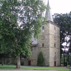
Reformed Church
5.4 km
Haus Esche
5.4 km
Brünas Heide
5.3 km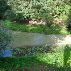
Vechte-Altarm Kalle
2.6 km
Lamberg
5 km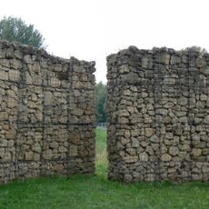
Der drehende Park
5.8 km
Rolina Weinberg geb. ten Brink
5.5 km
Luftschutzbunker
5 km
Kunstwegen-Objekt
5.4 km
Vom Hören sagen
6.5 km
Scenic viewpoint
2.6 km
Ehem. Standort Ref. Kirche
3.2 km
Louis ten Brink
5.4 km
Bernhard Weinberg
5.5 km
Badesee - Wilsumer Berge
5.7 km
Mathilde ten Brink
5.4 km
Memorial
5.6 km
Aula Emlichheim
5.3 km
Gefallenendenkmal
5.7 km
Archaeological site
5.3 km
Archaeological site
5.3 km
Archaeological site
5.3 km
Archaeological site
5.3 km
Archaeological site
5.3 km
Archaeological site
5.3 km
Archaeological site
5.4 km
Archaeological site
5.4 km
Archaeological site
5.3 kmReviews
Visited this place? Tap the stars to rate it and share your experience / photos with the community! Try now! You can cancel it anytime.
Discover hidden gems everywhere you go!
From secret cafés to breathtaking viewpoints, skip the crowded tourist spots and find places that match your style. Our app makes it easy with voice search, smart filtering, route optimization, and insider tips from travelers worldwide. Download now for the complete mobile experience.

A unique approach to discovering new places❞
— Le Figaro
All the places worth exploring❞
— France Info
A tailor-made excursion in just a few clicks❞
— 20 Minutes