
Westliche Naabtalhänge bei Pielenhofen, nature reserve in Bavaria, Germany
Location: Brunn
Inception: 1992
GPS coordinates: 49.08227,11.94233
Latest update: April 11, 2025 22:43
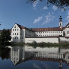
Pielenhofen Abbey
1.5 km
Château Bergstetten
3.2 km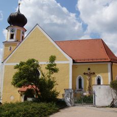
Mariä Geburt
2.7 km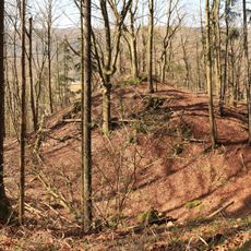
Burgstall Lichtenroth
1.6 km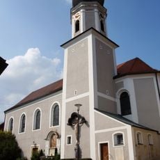
Mariä Opferung (Duggendorf)
3.1 km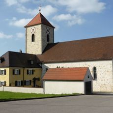
Wolfsegg-Kath. Pfarrkirche Christkönig
3.5 km
St. Leonhard (Wall)
2.6 km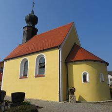
Kath. Filialkirche St. Laurentius
3.1 km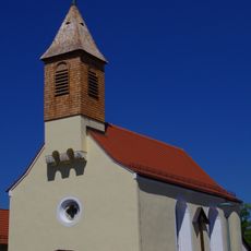
St. Peter und Paul
3.4 km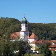
Katholische Pfarrkirche Mariä Opferung
3.1 km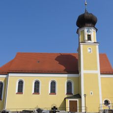
St. Maria Church Frauenberg
2.7 km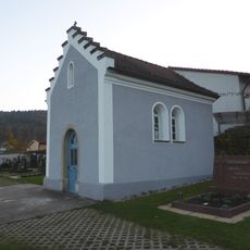
Duggendorf
3.2 km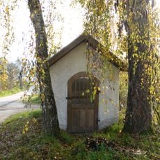
Wegkapelle St. Maria
3.6 km
Wegkapelle Maria Hilf (Berghof)
2.4 km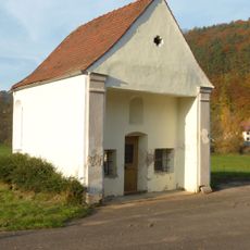
Wieskapelle zum Gegeißelten Heiland (Pielenhofen)
1.4 km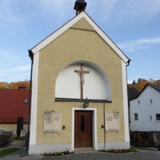
Friedhofskapelle St. Peter
1.6 km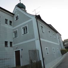
Mesner- und ehemaliges Schulhaus
3.1 km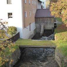
Kammerschleuse
1.7 km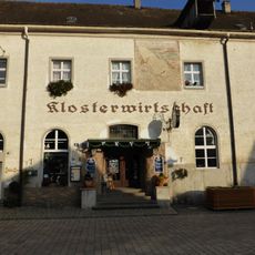
Klostergaststätte
1.5 km
Klostermühle
1.6 km
Gasthaus
3.2 km
Pettenhof Manor
3.1 km
Bauernhaus
3.6 km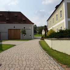
Duggendorf
3.1 km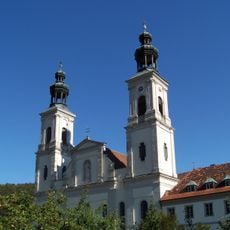
Pielenhofen Abbey Church
1.5 km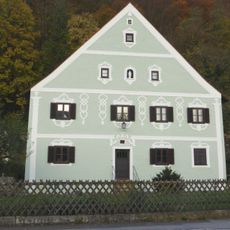
Wohnhaus
1.3 km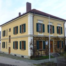
Forstamt Pielenhofen
1.7 km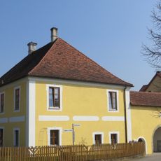
Schloss Bergstetten
3.2 kmReviews
Visited this place? Tap the stars to rate it and share your experience / photos with the community! Try now! You can cancel it anytime.
Discover hidden gems everywhere you go!
From secret cafés to breathtaking viewpoints, skip the crowded tourist spots and find places that match your style. Our app makes it easy with voice search, smart filtering, route optimization, and insider tips from travelers worldwide. Download now for the complete mobile experience.

A unique approach to discovering new places❞
— Le Figaro
All the places worth exploring❞
— France Info
A tailor-made excursion in just a few clicks❞
— 20 Minutes