Toteiskessel NW von Maxau, Geotop in Landkreis Mühldorf a.Inn in Bavaria, Germany
Location: Gars
Elevation above the sea: 533 m
Length: 30 m
Width: 30 m
GPS coordinates: 48.15523,12.20716
Latest update: November 22, 2025 23:56
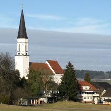
Church of the Assumption
1.8 km
Wieskapelle
1.5 km
Mühldorfer Straße 2
1.7 km
Scheune Zacherlöd 1 in Reichertsheim
1.7 km
Stadel
1.7 km
Cultural heritage D-1-7839-0094 in Reichertsheim
1.1 km
Ehemals Gefängnis, jetzt Amtsgericht
1.7 km
Stadel
1.5 km
Kirchdorfer Straße 5
1.8 km
Kirchplatz 2
1.8 km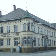
Hauptstraße 9 Gasthaus Zeller
1.8 km
St. Oswald
1.1 km
Mühldorfer Straße 19
1.6 km
Mühldorfer Straße 23
1.6 km
Stadel
899 m
Stadel
1.1 km
Stadel
1.2 km
Cultural heritage D-1-7839-0082 in Haag in Oberbayern
1.8 km
Ehemaliger Einfirsthof
784 m
Feldkreuz
1.2 km
Stallstadel
1.3 km
Einfriedung Nähe Gabelsbergerstraße; Wasserburger Straße 28 in Haag in Oberbayern
1.7 km
Wayside cross
847 m
Wayside cross
1.7 km
Wayside cross
1.1 km
Wayside cross
778 m
Wayside cross
1.7 km
Wayside cross
1.3 kmReviews
Visited this place? Tap the stars to rate it and share your experience / photos with the community! Try now! You can cancel it anytime.
Discover hidden gems everywhere you go!
From secret cafés to breathtaking viewpoints, skip the crowded tourist spots and find places that match your style. Our app makes it easy with voice search, smart filtering, route optimization, and insider tips from travelers worldwide. Download now for the complete mobile experience.

A unique approach to discovering new places❞
— Le Figaro
All the places worth exploring❞
— France Info
A tailor-made excursion in just a few clicks❞
— 20 Minutes