
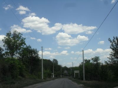
Hristovaia, village in Transnistria, Moldova
Location: Administrative-Territorial Units of the Left Bank of the Dniester
Location: Camenca District
Elevation above the sea: 208 m
Website: http://hrust.comlu.com
GPS coordinates: 48.10000,28.73333
Latest update: April 27, 2025 23:11
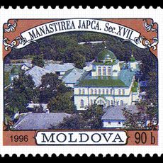
Japca Monastery
12.6 km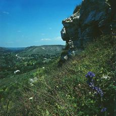
Valea Adîncă landscape reserve
12.4 km
Kniahynia
15.3 km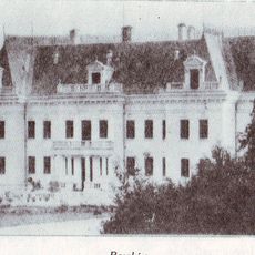
Pałac w Raszkowie
19.3 km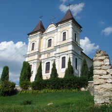
Saint Cajetan Church, Rașcov
19.3 km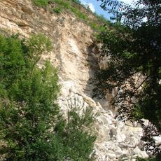
Rașcov Complex
17 km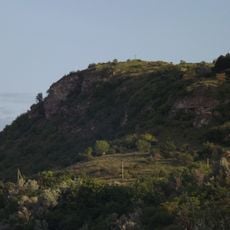
Japca cliff
11.4 km
Cărăușilor spring
18.2 km
Zacharovana Dolyna
12.9 km
Climăuții de Jos landscape reserve
15.2 km
Upper Proterozoic outcrop near Cerlina
10.5 km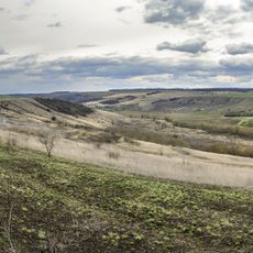
Turska stinka
16.1 km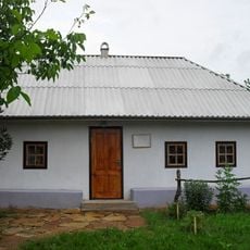
Muravskyi museum
11.7 km
Vadul
6.4 km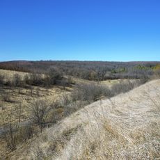
Kukulianska dacha
13.2 km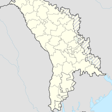
Sitișchi
14.2 km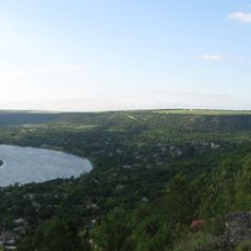
Bugornea
18.7 km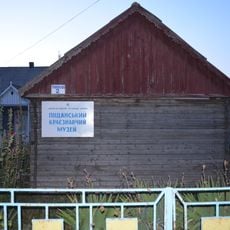
Pishchanka museum
16.6 km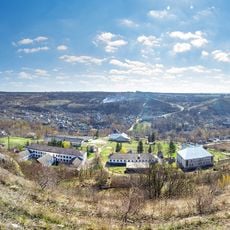
Vyshche shkoly
5.9 km
Hrușca
9.5 km
Kikeii
5.2 km
Glubokaya Dolina
19.2 km
Stinka
18.6 km
Namălvii ravine
15.4 km
The 1st red oak wood
17.2 km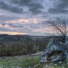
Bilia vapniakiv
6.8 km
The 2nd red oak wood
17 km
Saint Michael church in Vadul-Rașcov, Șoldănești
19.3 kmReviews
Visited this place? Tap the stars to rate it and share your experience / photos with the community! Try now! You can cancel it anytime.
Discover hidden gems everywhere you go!
From secret cafés to breathtaking viewpoints, skip the crowded tourist spots and find places that match your style. Our app makes it easy with voice search, smart filtering, route optimization, and insider tips from travelers worldwide. Download now for the complete mobile experience.

A unique approach to discovering new places❞
— Le Figaro
All the places worth exploring❞
— France Info
A tailor-made excursion in just a few clicks❞
— 20 Minutes