Kiærmarka naturreservat, محمية طبيعية في النرويج
Location: Rakkestad Municipality
Inception: December 16, 2022
GPS coordinates: 59.42900,11.20850
Latest update: December 3, 2025 00:21
Rudskogen
7.6 km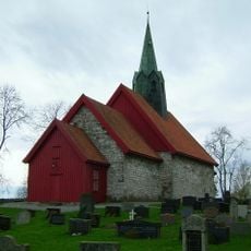
Skiptvet Church
4.7 km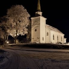
Os Church
2.9 km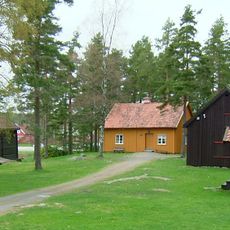
Skiptvet Bygdemuseum
4.9 km
Storesand
1.5 km
Søndre Glenne
3.4 km
Brekke foss
1.4 km
Gapestadfossen
2 km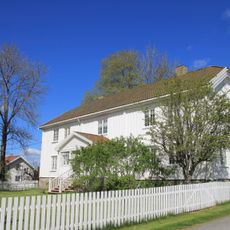
Skiptvet Parsonage
4.8 km
Buerfossen
4.3 km
Brentåsen
5.8 km
Finnskutt og Haugen
1.6 km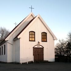
Skiptvet Chapel
4.8 km
Pengehornet
5.3 km
Tveter - Tveiter
6.6 km
Borgåsen
3 km
Kværnås
4.6 km
Skiptvet prestegård
4.7 km
Kongedalen
5.6 km
Vestby
2.4 km
Kirkegårdslokalitet
4.7 km
Sæevisslottet
3.7 km
Nord-jorda Skuta
3.6 km
Tyriklevåsen
4 km
Bronsealderrøyser
4.8 km
Furukollen utsiktstårn
7.5 km
Buerfossen
4.3 km
Gapestadfossen
2 kmReviews
Visited this place? Tap the stars to rate it and share your experience / photos with the community! Try now! You can cancel it anytime.
Discover hidden gems everywhere you go!
From secret cafés to breathtaking viewpoints, skip the crowded tourist spots and find places that match your style. Our app makes it easy with voice search, smart filtering, route optimization, and insider tips from travelers worldwide. Download now for the complete mobile experience.

A unique approach to discovering new places❞
— Le Figaro
All the places worth exploring❞
— France Info
A tailor-made excursion in just a few clicks❞
— 20 Minutes