Burum lille
Location: Råde Municipality
GPS coordinates: 59.34679,10.82405
Latest update: November 20, 2025 11:33
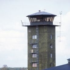
Rygge Air Station
4.2 km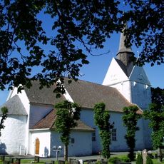
Råde Church
4 km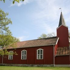
Tomb Church
2.9 km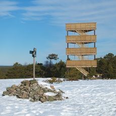
Fugleleiken
5.1 km
Kråkstadfjorden
4.1 km
Verkenslund
2.3 km
Aaker store
2 km
Burum lille
265 m
Tasken
4 km
Moskjæra
3.6 km
Myre
2.1 km
Bergkrysset
1.8 km
Norum
1.4 km
Hisingby mellom
4.1 km
Krokstadfjorden Marina
2.9 km
Tomb
3.3 km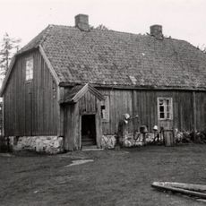
Kåpegot - Kaapegot - Koppegodt
3.8 km
Hestevold/ Fjordgløtt
3.8 km
Varden på Strømnesåsen
1.9 km
Kil mellom
4.6 km
Tesal kirke
705 m
Templet
4.2 km
Nøysom
2.3 km
Kjempehaugen og Engerlund
3 km
Hisingby søndre
4.7 km
Kåpekot
3.2 km
Lundeby
4.3 km
Borge vestre
5 kmReviews
Visited this place? Tap the stars to rate it and share your experience / photos with the community! Try now! You can cancel it anytime.
Discover hidden gems everywhere you go!
From secret cafés to breathtaking viewpoints, skip the crowded tourist spots and find places that match your style. Our app makes it easy with voice search, smart filtering, route optimization, and insider tips from travelers worldwide. Download now for the complete mobile experience.

A unique approach to discovering new places❞
— Le Figaro
All the places worth exploring❞
— France Info
A tailor-made excursion in just a few clicks❞
— 20 Minutes