
Kyrkhult 499, Reste einer ehemaligen Siedlung im Socken Kyrkhult (heute Gemeinde Olofström), Schweden
Location: Olofström Municipality
GPS coordinates: 56.32771,14.45481
Latest update: November 15, 2025 14:05
Манастир светог великомученика Георгија у Олофстрему
7.4 km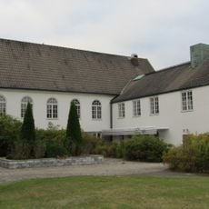
Olofström Church
7.1 km
Skärsnäs
7.9 km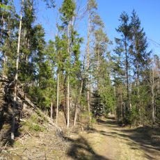
Nytebodaskogen
4.4 km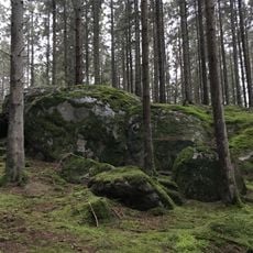
Halen III
7.7 km
Brotorpet
5 km
Lilla Nyteboda
3.3 km
Albertas myr
8.1 km
Holje
5.1 km
Kullan
2.4 km
Kyrkhult 3:1
3.3 km
Jämshög 622
7.7 km
Bokdunge i Rönhult
7.3 km
Kyrkhult 21:1
4 km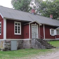
Alltidhults skola
7.3 km
Jämshög 50:1
8 km
Gylsboe mölla
7.1 km
Arons Berg Museum
6.7 km
Kameramuseum
8.2 km
Jämshög 49:1
8.2 km
Alltidhult Schule
7.3 km
Stenlängan i Vilshult
3 km
Jämshög 624
7.7 km
Jämshög 1312
7.8 km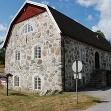
Olofströms museum
8 km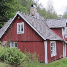
Brokamåla backstuga
3.6 km
Kyrkhult 181
6.9 km
Kyrkhult 468
1.9 kmReviews
Visited this place? Tap the stars to rate it and share your experience / photos with the community! Try now! You can cancel it anytime.
Discover hidden gems everywhere you go!
From secret cafés to breathtaking viewpoints, skip the crowded tourist spots and find places that match your style. Our app makes it easy with voice search, smart filtering, route optimization, and insider tips from travelers worldwide. Download now for the complete mobile experience.

A unique approach to discovering new places❞
— Le Figaro
All the places worth exploring❞
— France Info
A tailor-made excursion in just a few clicks❞
— 20 Minutes