Råda 37:1, stone setting in Lidköping Municipality, Västra Götaland County, Sweden
Location: Lidköping Municipality
GPS coordinates: 58.48976,13.10420
Latest update: November 12, 2025 02:17
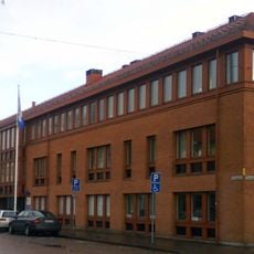
Gemeinde Lidköping
2.7 km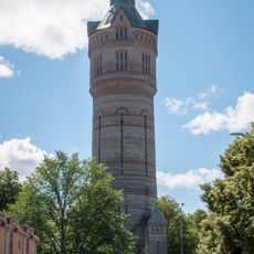
Gamla vattentornet, Lidköping
3.1 km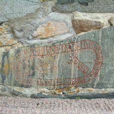
Västergötland Runic Inscription 40
1 km
Siggetorp
3.3 km
Lunnelid, Råda
1 km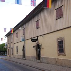
Grevehuset
3.4 km
Östby kyrkplats
2.4 km
Kinnefjärdings, Kinne och Kållands domsagas tingslag
3.2 km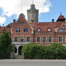
Kinnefjärding's, Kinne and Kålland's trial
2.8 km
Västergötlands runinskrifter 42
1 km
Råda 12:1
1.1 km
Råda 13:3
292 m
Råda 36:1
482 m
Råda 28:1
3.2 km
Råda 44:1
2.5 km
Råda 70:1
3.4 km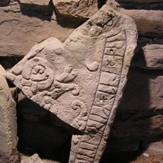
Västergötlands runinskrifter 41
1.1 km
Råda 68:1
3 km
Råda 69:1
3 km
Råda 38:1
89 m
Råda 69:2
2.9 km
Råda 70:2
3.4 km
Råda 101:1
371 m
Råda 9:1
2.6 km
Råda 41:1
1.1 km
Råda 13:2
444 m
Råda 13:1
348 m
Hovby 2:1
2.2 kmReviews
Visited this place? Tap the stars to rate it and share your experience / photos with the community! Try now! You can cancel it anytime.
Discover hidden gems everywhere you go!
From secret cafés to breathtaking viewpoints, skip the crowded tourist spots and find places that match your style. Our app makes it easy with voice search, smart filtering, route optimization, and insider tips from travelers worldwide. Download now for the complete mobile experience.

A unique approach to discovering new places❞
— Le Figaro
All the places worth exploring❞
— France Info
A tailor-made excursion in just a few clicks❞
— 20 Minutes