Strö 17:2, stenkrets i Västergötland
Location: Lidköping Municipality
GPS coordinates: 58.57926,13.06097
Latest update: November 24, 2025 09:45

Hjorterör
1 km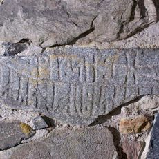
Västergötlands runinskrifter 47
642 m
Strö 6:2
640 m
Strö 6:1
633 m
Rackeby 145:1
922 m
Rackeby 133:1
890 m
Strö 12:1
445 m
Strö 18:1
165 m
Strö 84:1
996 m
Rackeby 23:4
818 m
Strö 22:3
995 m
Strö 7:1
757 m
Rackeby 23:1
839 m
Strö 11:1
298 m
Rackeby 23:2
838 m
Strö 12:2
461 m
Strö 12:3
456 m
Strö 12:4
440 m
Strö 17:1
14 m
Strö 15:1
432 m
Strö 16:1
264 m
Strö 19:1
497 m
Strö 22:2
1 km
Rackeby 23:3
824 m
Strö 14:1
361 m
Rackeby 103:1
930 m
Strö 7:2
771 m
Rackeby 25:1
706 mReviews
Visited this place? Tap the stars to rate it and share your experience / photos with the community! Try now! You can cancel it anytime.
Discover hidden gems everywhere you go!
From secret cafés to breathtaking viewpoints, skip the crowded tourist spots and find places that match your style. Our app makes it easy with voice search, smart filtering, route optimization, and insider tips from travelers worldwide. Download now for the complete mobile experience.

A unique approach to discovering new places❞
— Le Figaro
All the places worth exploring❞
— France Info
A tailor-made excursion in just a few clicks❞
— 20 Minutes