Helgarö 29:1, grave field in Södermanland, Sweden
Location: Strängnäs Municipality
GPS coordinates: 59.44888,16.82676
Latest update: November 24, 2025 14:12

Rällingeborg
585 m
Sö ATA6294/59
16 m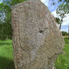
Södermanlands runinskrifter ATA6491/60
24 m
Fogdö 185:1
1.1 km
Fogdö 241:2
1.2 km
Helgarö 33:2
963 m
Helgarö 27:1
330 m
Sörby tupp
1 km
Rällinge borg
1.2 km
Helgarö 24:1
812 m
Fogdö 242:2
1.1 km
Helgarö 28:1
487 m
Helgarö 26:1
286 m
Fogdö 511
1 km
Fogdö 184:2
1 km
Helgarö 33:1
951 m
Helgarö 22:1
1.2 km
Helgarö 33:3
980 m
Fogdö 241:1
1.3 km
Fogdö 183:1
974 m
Fogdö 241:3
1.2 km
Fogdö 242:1
1.2 km
Helgarö 27:2
343 m
Fogdö 178:1
1.1 km
Helgarö 115
246 m
Fogdö 494
1.2 km
Helgarö 23:1
875 m
Helgarö 31:1
275 mReviews
Visited this place? Tap the stars to rate it and share your experience / photos with the community! Try now! You can cancel it anytime.
Discover hidden gems everywhere you go!
From secret cafés to breathtaking viewpoints, skip the crowded tourist spots and find places that match your style. Our app makes it easy with voice search, smart filtering, route optimization, and insider tips from travelers worldwide. Download now for the complete mobile experience.

A unique approach to discovering new places❞
— Le Figaro
All the places worth exploring❞
— France Info
A tailor-made excursion in just a few clicks❞
— 20 Minutes