Myhrbodarna
Location: Krokom Municipality
GPS coordinates: 64.08857,14.23447
Latest update: November 23, 2025 00:21

Klintaberg
6.6 km
Hotagen
18.2 km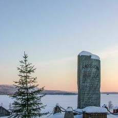
Häggsjövik
20.4 km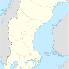
Forsahappen
10.5 km
Ulendeltaet
21.9 km
Lomtjärnen
11.6 km
Höbergsfjällets naturreservat
18.5 km
Höjden Botelnäset
20.3 km
Sandknölen
9.5 km
Hotagen 55:1
12.2 km
Östra Duatjärro
18.4 km
Myrklumpen
6.7 km
Midtifallet
17.4 km
Västra Duatjärro
18.2 km
Väiraklehpe
20 km
Raptetjarve
9.9 km
Njerevåjje
16.1 km
Litlfallet
15.8 km
Bakken mellem
13 km
Strifossen
21.7 km
Julesstraumen naturreservat
22.2 km
Arvasslia
22.8 km
Per-Hansagården
6.2 km
Ansättåns canyon
21.5 km
Scenic viewpoint
6.5 km
Litlfallet
15.9 km
Midtifallet
17.4 km
Rengsfallet
6.6 kmReviews
Visited this place? Tap the stars to rate it and share your experience / photos with the community! Try now! You can cancel it anytime.
Discover hidden gems everywhere you go!
From secret cafés to breathtaking viewpoints, skip the crowded tourist spots and find places that match your style. Our app makes it easy with voice search, smart filtering, route optimization, and insider tips from travelers worldwide. Download now for the complete mobile experience.

A unique approach to discovering new places❞
— Le Figaro
All the places worth exploring❞
— France Info
A tailor-made excursion in just a few clicks❞
— 20 Minutes