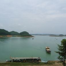
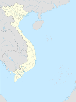
Tân Long, Landgemeinde in Vietnam
Location: Yên Sơn
Elevation above the sea: 291 m
GPS coordinates: 21.88389,105.22000
Latest update: November 25, 2023 00:17

Nong Tien Bridge
7.5 km
Thác Bà Lake
26.9 km
Yen Bai Bridge
41.8 km
VIP Game
26.9 km
Tea leaf forests
29.4 km
Tinh Huc Bridge
9 km
BQL Suối khoáng Mỹ Lâm, Tuyên Quang
18.7 km
Bia di tích Trung ương Đoàn tại bản Dõn, huyện Sơn Dương, tỉnh Tuyên Quang
22.4 km
Bảo Ninh Sùng Phúc stele
22.5 km
Waterfall
22.6 km
Khu di tích Lịch sử ATK Kim Quan
22.8 km
Đài Kỷ Niệm Đập Thủy Điện Thác Bà
25.4 km
Thác Đà
25.8 km
Đền thờ Chủ tịch Hồ Chí Minh
7 km
Tqg512
1.7 km
Memorial, commemorative plaque
28.8 km
Di tích thành nhà Mạc
7.2 km
ATK tourist zone - Ho Chi Minh's house
31.8 km
Núi Thở Panoramic Viewpoint
32.5 km
Hồ ông thể
33.5 km
Ninh Văn Công
34.9 km
Đèo Kháng Nhật
35.5 km
Lotus
36.3 km
Bao Linh Lake
37.2 km
Yen Bai provincial museum
37.4 km
Tú lệ văn chấn
38.2 km
Van Phu Bridge
38.4 km
Bach Lam Bridge
39.2 kmReviews
Visited this place? Tap the stars to rate it and share your experience / photos with the community! Try now! You can cancel it anytime.
Discover hidden gems everywhere you go!
From secret cafés to breathtaking viewpoints, skip the crowded tourist spots and find places that match your style. Our app makes it easy with voice search, smart filtering, route optimization, and insider tips from travelers worldwide. Download now for the complete mobile experience.

A unique approach to discovering new places❞
— Le Figaro
All the places worth exploring❞
— France Info
A tailor-made excursion in just a few clicks❞
— 20 Minutes
