
LSG-Tongrube Rheindahlen, protected area in Germany
Location: Mönchengladbach
Inception: 1995
GPS coordinates: 51.14015,6.36806
Latest update: April 26, 2025 05:48
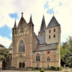
St. Helena (Mönchengladbach-Rheindahlen)
905 m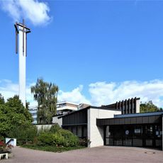
Martin-Luther-Kirche (Rheindahlen)
823 m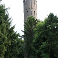
Wasserturm Rheindahlen
169 m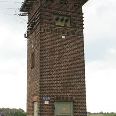
Transformatorenhaus
646 m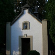
Josefskapelle
1.4 km
Am Wickrather Tor 62
714 m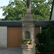
Wegekreuz Sittard
922 m
Am Kapellchen 19
737 m
Krankenhaus Rheindahlen
687 m
Beecker Straße 16
984 m
Hardter Straße 12
1.3 km
St.-Peter-Straße 3
813 m
St. Peter-Straße 7
804 m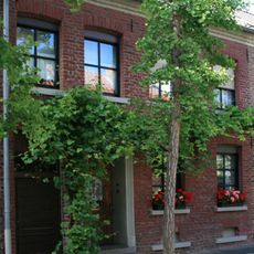
St.-Peter-Straße 1
815 m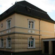
Kleiner Driesch 10
1.1 km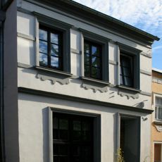
St.-Peter-Straße 26
782 m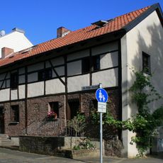
St. Peter-Straße 4
800 m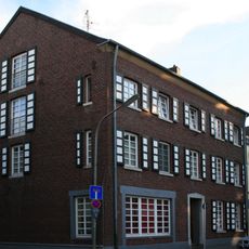
Beecker Straße 47/48
1 km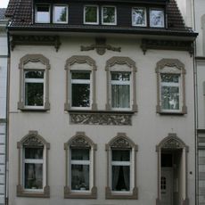
Bettrather Straße 61
1.1 km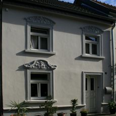
St.-Peter-Straße 18
788 m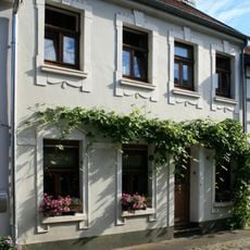
St.-Peter-Straße 14
789 m
St.-Peter-Straße 9
803 m
St.-Peter-Straße 13
798 m
St.-Peter-Straße 10
792 m
St.-Peter-Straße 12
787 m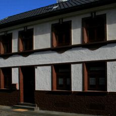
St.-Peter-Straße 20
789 m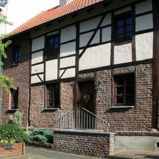
St.-Peter-Straße 6
797 m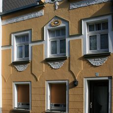
St.-Peter-Straße 24
785 mReviews
Visited this place? Tap the stars to rate it and share your experience / photos with the community! Try now! You can cancel it anytime.
Discover hidden gems everywhere you go!
From secret cafés to breathtaking viewpoints, skip the crowded tourist spots and find places that match your style. Our app makes it easy with voice search, smart filtering, route optimization, and insider tips from travelers worldwide. Download now for the complete mobile experience.

A unique approach to discovering new places❞
— Le Figaro
All the places worth exploring❞
— France Info
A tailor-made excursion in just a few clicks❞
— 20 Minutes