6, High Street, building in Rolvenden, Ashford, Kent, UK
Location: Rolvenden
Address: 6, High Street, Rolvenden, Ashford, Kent, TN17
GPS coordinates: 51.05138,0.63032
Latest update: November 22, 2025 18:59
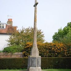
Rolvenden War Memorial
61 m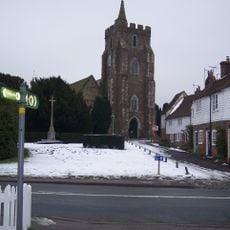
Parish Church of St Mary
93 m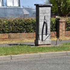
Village Pump Opposite No 29
127 m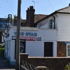
The Star Public House
110 m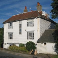
2, 4 And 6, Hastings Road
46 m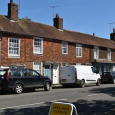
45-55, High Street
201 m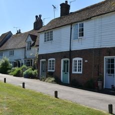
8-22, Hastings Road
72 m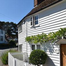
2 And 4, High Street
13 m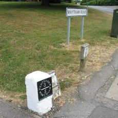
Milestone, Maytham Road, N of church
28 m
36-46, High Street
143 m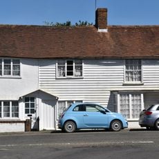
59 And 61, High Street
227 m
Pump Opposite No 60
219 m
39-43, High Street
178 m
56 And 58, High Street
193 m
Streyte Cottage
27 m
12-18, High Street
49 m
The Old Parsonage
158 m
K6 Telephone Kiosk
143 m
60 And 62, High Street
217 m
57, High Street
215 m
School House
122 m
Tomb In Churchyard To Edward Walter Forbes
116 m
52 And 54, High Street
173 m
26 And 28, High Street
99 m
32 And 34, High Street
123 m
20, High Street
69 m
The C.M Booth Collection
140 m
Rolvenden Village Sign
111 mReviews
Visited this place? Tap the stars to rate it and share your experience / photos with the community! Try now! You can cancel it anytime.
Discover hidden gems everywhere you go!
From secret cafés to breathtaking viewpoints, skip the crowded tourist spots and find places that match your style. Our app makes it easy with voice search, smart filtering, route optimization, and insider tips from travelers worldwide. Download now for the complete mobile experience.

A unique approach to discovering new places❞
— Le Figaro
All the places worth exploring❞
— France Info
A tailor-made excursion in just a few clicks❞
— 20 Minutes