20, High Street, building in Rolvenden, Ashford, Kent, UK
Location: Rolvenden
Address: 20, High Street, Rolvenden, Ashford, Kent, TN17
GPS coordinates: 51.05195,0.62991
Latest update: November 22, 2025 10:09
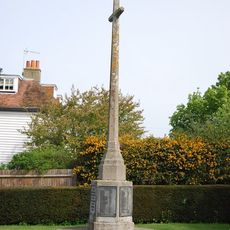
Rolvenden War Memorial
130 m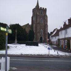
Parish Church of St Mary
161 m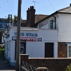
The Star Public House
41 m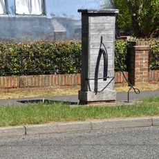
Village Pump Opposite No 29
62 m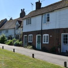
8-22, Hastings Road
139 m
45-55, High Street
137 m
2, 4 And 6, Hastings Road
115 m
2 And 4, High Street
82 m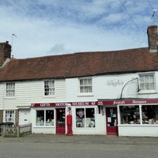
63-73, High Street
176 m
Pump Opposite No 60
153 m
36-46, High Street
74 m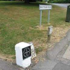
Milestone, Maytham Road, N of church
88 m
59 And 61, High Street
163 m
39-43, High Street
115 m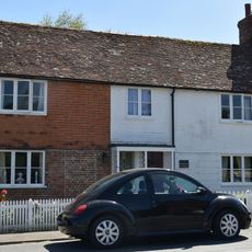
2 And 4, Regent Street
176 m
56 And 58, High Street
125 m
Streyte Cottage
43 m
K6 Telephone Kiosk
78 m
60 And 62, High Street
149 m
57, High Street
151 m
School House
173 m
8, High Street
55 m
6, High Street
69 m
26 And 28, High Street
30 m
52 And 54, High Street
105 m
32 And 34, High Street
55 m
The C.M Booth Collection
82 m
Rolvenden Village Sign
49 mReviews
Visited this place? Tap the stars to rate it and share your experience / photos with the community! Try now! You can cancel it anytime.
Discover hidden gems everywhere you go!
From secret cafés to breathtaking viewpoints, skip the crowded tourist spots and find places that match your style. Our app makes it easy with voice search, smart filtering, route optimization, and insider tips from travelers worldwide. Download now for the complete mobile experience.

A unique approach to discovering new places❞
— Le Figaro
All the places worth exploring❞
— France Info
A tailor-made excursion in just a few clicks❞
— 20 Minutes