Ingleside Farmhouse, farmhouse in Rudford and Highleadon, Forest of Dean, Gloucestershire, UK
Location: Rudford and Highleadon
GPS coordinates: 51.89391,-2.32129
Latest update: November 24, 2025 09:31
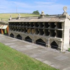
Bee Shelter Approximately 50 Metres East Of St Mary The Virgin Hartpury
1.6 km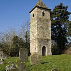
St Oswald's Church, Lassington
1.7 km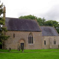
Church of St Mary
47 m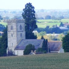
Church of St Mary
1.9 km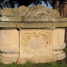
Sloper Monument, In The Churchyard, About 21 Metres North Of West End Of The Chancel, Church Of St Mary
1.9 km
Sunday School, In The Churchyard, Church Of St Mary
51 m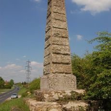
Monument To Dead In Civil War Skirmish
812 m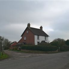
The Laurels
1.4 km
Eldridge Monument, In Churchyard, About 6 Metres North Of Nave, Slightly West Of Eastern Window, Church Of St Mary
1.9 km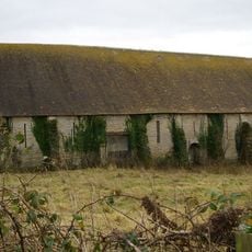
Tithe Barn, Hartpury Court
1.9 km
Meredith
1.7 km
Farm Store At Hartpury Court, Between House And Parish Church
1.9 km
Moated site at Hartpury Court
1.8 km
Hartpury House
1.5 km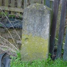
Milestone By Bovone Cottages
788 m
Whitehouse
2 km
Hartpury Mill, The Mill
1.9 km
Hartpury Court
1.8 km
Courtyard Wall And Railings Hartpury House
1.4 km
Barn And Shelter Sheds, Highnam Farm
1.9 km
Ardfern
1.7 km
Lassington Court
1.7 km
Bridge Farmhouse
818 m
Camp House
1.9 km
Barn, Cowhouse And Stable, Whitehall Farm
1.2 km
Rodwayhill Lodge
1.3 km
Rodway Hill Golf Club
1.6 km
Rodway Hill Golf Club
1.6 kmReviews
Visited this place? Tap the stars to rate it and share your experience / photos with the community! Try now! You can cancel it anytime.
Discover hidden gems everywhere you go!
From secret cafés to breathtaking viewpoints, skip the crowded tourist spots and find places that match your style. Our app makes it easy with voice search, smart filtering, route optimization, and insider tips from travelers worldwide. Download now for the complete mobile experience.

A unique approach to discovering new places❞
— Le Figaro
All the places worth exploring❞
— France Info
A tailor-made excursion in just a few clicks❞
— 20 Minutes