24,25 And 26, Norfolk Road, building in The City of Brighton and Hove, West Sussex, UK
Location: Brighton and Hove
GPS coordinates: 50.82655,-0.15417
Latest update: November 21, 2025 11:51
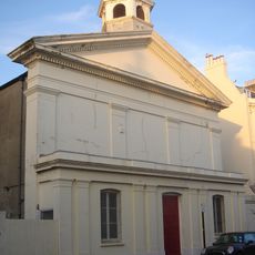
St Stephen's Church, Brighton
81 m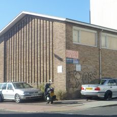
Montpelier Place Baptist Church, Brighton
39 m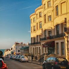
Abbey Hotel
73 m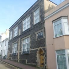
Former St Stephens Schools
123 m
Boundary Stone Approximately 40 Metres North Of Western Road
82 m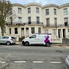
Nos 31-58 And Attached Walls And Railings
138 m
3, 4 And 5, Temple Street
136 m
Numbers 43 And 44 And Attached Railings
97 m
29, Temple Street
109 m
31, Temple Street
111 m
37, Temple Street
124 m
42, Temple Street
139 m
Numbers 53-56 And Attached Railings
138 m
Numbers 7 And 8 And Railings Attached To Number 8
102 m
Number 18 And Attached Railings
47 m
Numbers 37 And 38 And 39 And Attached Railings
56 m
Numbers 41 And 42 And Attached Railings
82 m
20-24, Borough Street
50 m
47, Norfolk Street
119 m
Numbers 1-13 And Attached Balustrades
117 m
Numbers 21-28 Belvedere Terrace And Attached Railings
65 m
16, Borough Street
65 m
Number 14 And Attached Railings
17 m
Number 3 And Attached Railings
132 m
8-13, Borough Street
75 m
Numbers 20-24 And Attached Railings
105 m
Boundary Stone At Junction Of Boundary Passage And Montpelier Place
23 m
3, Borough Street
120 mReviews
Visited this place? Tap the stars to rate it and share your experience / photos with the community! Try now! You can cancel it anytime.
Discover hidden gems everywhere you go!
From secret cafés to breathtaking viewpoints, skip the crowded tourist spots and find places that match your style. Our app makes it easy with voice search, smart filtering, route optimization, and insider tips from travelers worldwide. Download now for the complete mobile experience.

A unique approach to discovering new places❞
— Le Figaro
All the places worth exploring❞
— France Info
A tailor-made excursion in just a few clicks❞
— 20 Minutes