Narrogin Golf Course
Location: Dumberning
Location: Shire Of Narrogin
GPS coordinates: -32.95537,117.12994
Latest update: November 24, 2025 03:24

Cuballing Tavern
15.7 km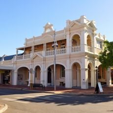
Narrogin Town Hall
4.9 km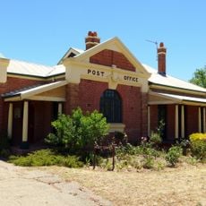
Cuballing Post Office & Quarters
15.9 km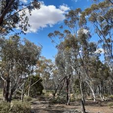
Dryandra Inland Arboretum
24.5 km
Commonwealth Bank building, Narrogin
5 km
Manager's Residence
4.8 km
West Australian Bank
15.8 km
Saunders Hill
6.8 km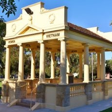
Narrogin War Memorial
4.8 km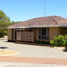
Cuballing shire offices
15.7 km
Railway House, 2 Hale Street, Narrogin
5.3 km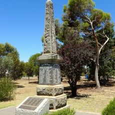
Cuballing War Memorial
15.8 km
Railway Goods Shed
5.1 km
Railway Houses, 2-4 Hale Street, Narrogin
5.3 km
Railway House, 6 Hale Street, Narrogin
5.3 km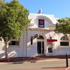
National Bank, Narrogin
5 km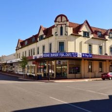
Mardoc Building, Narrogin
5.1 km
Cuballing Civic Group
15.8 km
Contine Hill
14.1 km
Lol Gray
23.6 km
Cuballing Golf Course
18 km
George Brockway Tree
22.3 km
Yilliminning Rock
22.7 km
Yilliminning Rock WIldflowers
22.5 km
Chedoona Gallery
15.9 km
Monument
4 km
Memorial, war memorial
4.8 km
Memorial
15.8 kmReviews
Visited this place? Tap the stars to rate it and share your experience / photos with the community! Try now! You can cancel it anytime.
Discover hidden gems everywhere you go!
From secret cafés to breathtaking viewpoints, skip the crowded tourist spots and find places that match your style. Our app makes it easy with voice search, smart filtering, route optimization, and insider tips from travelers worldwide. Download now for the complete mobile experience.

A unique approach to discovering new places❞
— Le Figaro
All the places worth exploring❞
— France Info
A tailor-made excursion in just a few clicks❞
— 20 Minutes