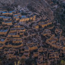
Old village
Location: El Outaya ⵍⴻⵡⵟⴰⵢⴰ لوطاية
GPS coordinates: 35.12535,5.61053
Latest update: October 28, 2025 23:20
Ghoufi
51.4 km
Belezma National Park
63.8 km
Gemellae
55 km
Sidi Okba Mosque
49.5 km
Roman bridge in El Kantara
14.6 km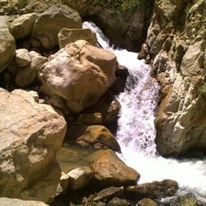
Cascades de Berbaga
60.8 km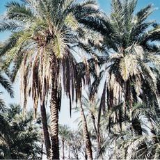
Filiach
34.5 km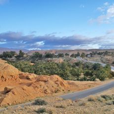
Baniane
41.8 km
Lapidarium of El Kantara
13.4 km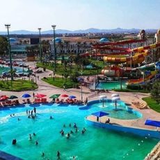
Parc aquatique AquaPalm
36.6 km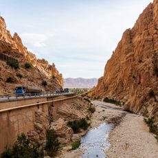
El Kantara Gorge
14.6 km
Place publique
49 km
Bobinage Med Fardjallah
48.1 km
Place publique
48.6 km
Bnat al Khabazat
1.3 km
Mahmoud Bouti
29.9 km
Petit jardin
48.1 km
Place for Tourism Mchounech
37.8 km
Statue Elwiam
68.6 km
Maison chir
60.7 km
Ain Gat
6.5 km
Balcon de ghoufi
51.2 km
Scenic viewpoint
35.1 km
سيدي رواق
47.9 km
مقام الشهيد
62 km
حظيرة البلدية
66.1 km
المجاهد الحاج لخضر
68 km
شارع الشهيد شباطي
39.6 kmReviews
Visited this place? Tap the stars to rate it and share your experience / photos with the community! Try now! You can cancel it anytime.
Discover hidden gems everywhere you go!
From secret cafés to breathtaking viewpoints, skip the crowded tourist spots and find places that match your style. Our app makes it easy with voice search, smart filtering, route optimization, and insider tips from travelers worldwide. Download now for the complete mobile experience.

A unique approach to discovering new places❞
— Le Figaro
All the places worth exploring❞
— France Info
A tailor-made excursion in just a few clicks❞
— 20 Minutes