Queensland - Northern Terriory Border
Location: Camooweal
Location: Mount Isa City
GPS coordinates: -19.91584,137.99649
Latest update: November 5, 2025 00:59

Riversleigh
118.6 km
Australian Fossil Mammal Sites (Riversleigh / Naracoorte)
119.6 km
Camooweal Caves National Park
23.3 km
Tree of Knowledge, Camooweal
12.3 km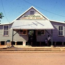
Freckleton's Stores, Camooweal
12.8 km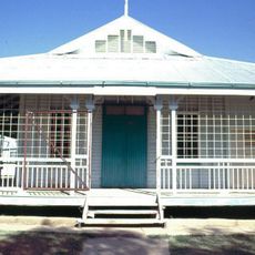
Community Hall
13 km
Hodgkinson's Marked Tree
13.4 km
Mount Drummond
141.9 km
Briggs Hill
83.7 km
Dawadarri Lookout
144.3 km
Lower Gorge Lookout
145.6 km
Caves
24.7 km
Island Stack Lookout
145 km
Cascades
145.1 km
Canoe Hire
144.9 km
Indarri Falls
143.8 km
Indarri Lookout
143.8 km
Lookout
144.3 km
Cave
17.1 km
Wild Dog Dreaming
145.4 km
Lower Gorge Lookout
145.3 km
Scenic viewpoint
145.3 km
Scenic viewpoint
145.4 km
Scenic viewpoint
142.8 km
Memorial, commemorative plaque
29.1 km
Memorial
142 km
Vehicle
143.4 km
Monument
7 mReviews
Visited this place? Tap the stars to rate it and share your experience / photos with the community! Try now! You can cancel it anytime.
Discover hidden gems everywhere you go!
From secret cafés to breathtaking viewpoints, skip the crowded tourist spots and find places that match your style. Our app makes it easy with voice search, smart filtering, route optimization, and insider tips from travelers worldwide. Download now for the complete mobile experience.

A unique approach to discovering new places❞
— Le Figaro
All the places worth exploring❞
— France Info
A tailor-made excursion in just a few clicks❞
— 20 Minutes