Ningham Station Turn Off
Location: Paynes Find
Location: Shire Of Yalgoo
GPS coordinates: -29.36530,117.27940
Latest update: November 23, 2025 23:19

Mount Gibson Sanctuary
41.3 km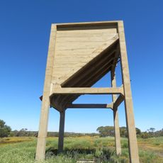
Caron Coal Stage
96.2 km
Warriedar Hill
33.9 km
Pinyalling Hill
30.2 km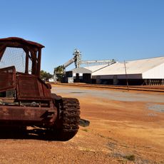
Maya grain receival point
94.7 km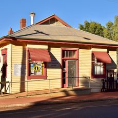
Bank of New South Wales (NSW), Perenjori
96.6 km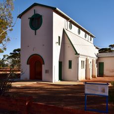
St Joseph's Church, Perenjori
96.6 km
Latham's Rock (no sign)
95.4 km
Scenic viewpoint
18.1 km
Wreath Flowers
30 km
Sheep yards
20.1 km
Buntine Rock
94.6 km
Wildflower Information Bay
94.6 km
Terinas Wildflower Walk
91.9 km
Latham Golf Club
91.1 km
Discovering Wildflower Country - Caron Dam
96 km
Camel Soak
63.6 km
Coolagee
30.6 km
Buntine Golf Course
95.9 km
Mongers Lake Lookout
65.4 km
John Forrest Lookout
53.6 km
Ruins
41 km
Barley Outcamp
25.9 km
Latham Maya Centenary
91.9 km
Jibberding Hall School Site 1942-1950
87.3 km
Monument
96.1 km
John Forrest Lookout
53.7 km
Camel Soak
63.6 kmReviews
Visited this place? Tap the stars to rate it and share your experience / photos with the community! Try now! You can cancel it anytime.
Discover hidden gems everywhere you go!
From secret cafés to breathtaking viewpoints, skip the crowded tourist spots and find places that match your style. Our app makes it easy with voice search, smart filtering, route optimization, and insider tips from travelers worldwide. Download now for the complete mobile experience.

A unique approach to discovering new places❞
— Le Figaro
All the places worth exploring❞
— France Info
A tailor-made excursion in just a few clicks❞
— 20 Minutes