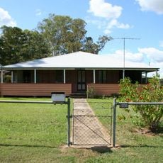
White Ridge Farm
Location: Elimbah
Location: Greater Brisbane
GPS coordinates: -27.03310,152.94870
Latest update: November 2, 2025 03:43
Bankfoot House
13.5 km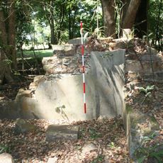
Morayfield Plantation
9.6 km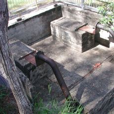
Lagoon Creek Pumping Station
4.3 km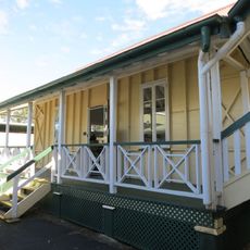
Morayfield State School
8.2 km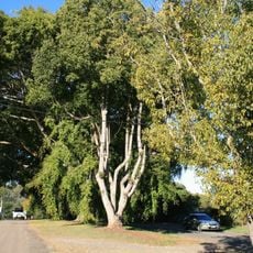
Anzac Avenue Memorial Trees
8.2 km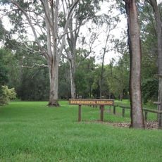
Oaklands Sugar Mill
7.5 km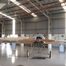
Caboolture Warplane Museum
6.2 km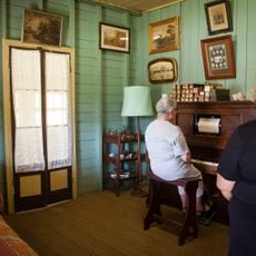
Bankfoot House
13.5 km
Glass House Mountain Lookout
12.5 km
Tunbubudla View
11.8 km
Zillmans Crossing (Caboolture River)
13.3 km
Mangotree
5.4 km
Former RAAF Radar Station No. 210
10.3 km
Sculpture, Work of art
6.3 km
Historic Railway Water Supply Facility and Pump Station
4.4 km
Ngungun View
12 km
Mountain View Lookout
11.9 km
The Playpen
11.4 km
Jack Ferris Lookout
10.7 km
Cooee View
12.1 km
Scenic viewpoint
10.1 km
Scenic viewpoint
9.6 km
Scenic viewpoint
11.9 km
Scenic viewpoint
12 km
Scenic viewpoint
10 km
Monument
12.1 km
ANZAC Memorial
8.4 km
Memorial, commemorative plaque
11.5 kmReviews
Visited this place? Tap the stars to rate it and share your experience / photos with the community! Try now! You can cancel it anytime.
Discover hidden gems everywhere you go!
From secret cafés to breathtaking viewpoints, skip the crowded tourist spots and find places that match your style. Our app makes it easy with voice search, smart filtering, route optimization, and insider tips from travelers worldwide. Download now for the complete mobile experience.

A unique approach to discovering new places❞
— Le Figaro
All the places worth exploring❞
— France Info
A tailor-made excursion in just a few clicks❞
— 20 Minutes