Der Zusammenfluss der Deutsche und Mährische Thaya
Location: Raabs an der Thaya
GPS coordinates: 48.84798,15.49047
Latest update: October 30, 2025 03:47
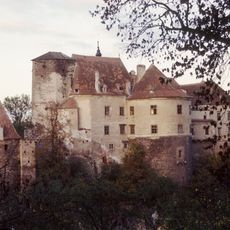
Burg Raabs an der Thaya
111 m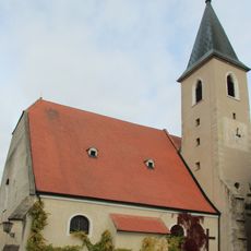
Pfarrkirche Raabs an der Thaya
318 m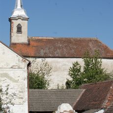
Ortskapelle hl. Laurenz, Liebnitz
2.8 km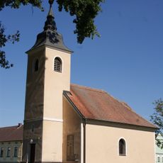
Ortskapelle hl. Maria und Gekreuzigter, Modsiedl
1.9 km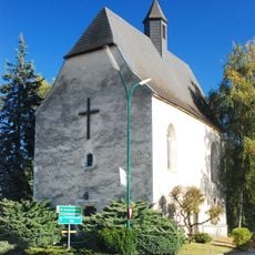
Allerheiligenkirche (Raabs an der Thaya)
696 m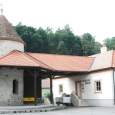
Mittelalterlicher Wehrturm
277 m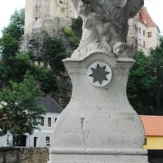
Johann Nepomuk, Thayabrücke, Raabs an der Thaya
153 m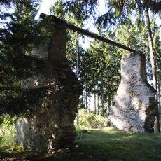
Former gallow, Raabs an der Thaya
1.4 km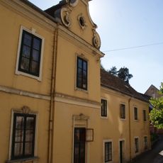
Wohnhaus Schlossstraße 33
171 m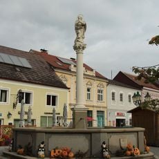
Mariensäule
198 m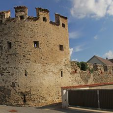
Stadtmauer im Westen und im Nordosten
78 m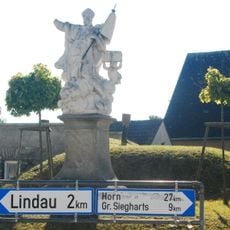
Figurenbildstock hl. Leopold, Oberndorf
731 m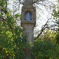
Schwarze Marter
586 m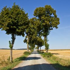
Straßenstück der L8065, KG Raabs
1.6 km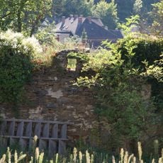
City wall of Raabs an der Thaya
279 m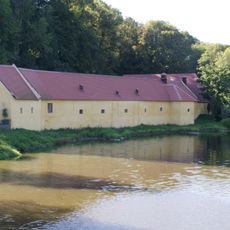
Alter Meierhof, Raabs an der Thaya
79 m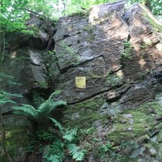
Jungefernstein
2 km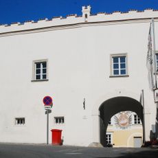
Pfarrhof, Oberndorf bei Raabs
325 m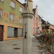
Pranger Raabs
248 m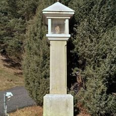
Wayside shrine
2.7 km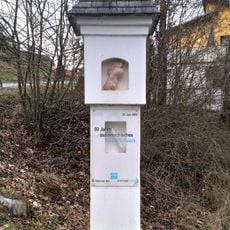
Wayside shrine
2.8 km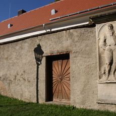
Former churchyard, Oberndorf bei Raabs
325 m
Scenic viewpoint
2.7 km
Statue, Work of art
70 m
Nepomuk
1.1 km
Memorial
136 m
Heupl-Gedenkstein
2.7 km
Memorial, war memorial
346 mVisited this place? Tap the stars to rate it and share your experience / photos with the community! Try now! You can cancel it anytime.
Discover hidden gems everywhere you go!
From secret cafés to breathtaking viewpoints, skip the crowded tourist spots and find places that match your style. Our app makes it easy with voice search, smart filtering, route optimization, and insider tips from travelers worldwide. Download now for the complete mobile experience.

A unique approach to discovering new places❞
— Le Figaro
All the places worth exploring❞
— France Info
A tailor-made excursion in just a few clicks❞
— 20 Minutes