Водяний млин
Location: Мізоцька селищна громада
GPS coordinates: 50.31663,26.13796
Latest update: October 25, 2025 07:11
Dreifaltigkeitskloster Derman
9 km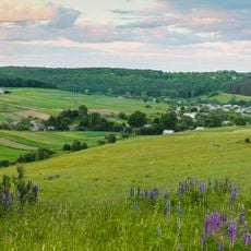
Derman-Ostroh National Nature Park
5.4 km
Mototrek Stadium, Rivne
5.1 km
Мізоцький кряж
8.7 km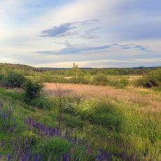
Dermansko-Mostivskyi Regional Landscape Park
4.9 km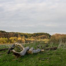
Hurby Protected Tract
3.2 km
Bushchanskyi Nature Reserve
9.2 km
Zinkiv Kamin
4.7 km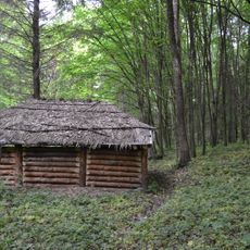
Peklo Protected Tract
6.4 km
Mizotskyi Park
9 km
Turova Mohyla
6.8 km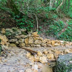
Джерело Ринва
4.2 km
Boloto Kruhliak
1 km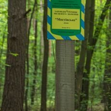
Мостівське
6.9 km
Floodplain of the Zbytenka river
4.2 km
300-річні липи
9.1 km
Урочище «Будки»
4.1 km
Olkhava
4.5 km
Pivdenno-Mostivskyi Nature Reserve
3.9 km
Pivnichno-Mostivskyi Nature Reserve
3.8 km
Криївка УПА
4.8 km
Мізоцький кряж (до урочища Зіньків камінь)
7.5 km
Водяний млин (19ст)
4.1 km
Оранжерея Карвицьких (мурована) 1809
8.9 km
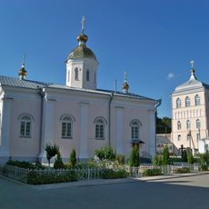
Троїцький Дерманський жіночий монастир
9 km
Scenic viewpoint
5.9 km
Scenic viewpoint
7.8 km
Scenic viewpoint
7.8 kmVisited this place? Tap the stars to rate it and share your experience / photos with the community! Try now! You can cancel it anytime.
Discover hidden gems everywhere you go!
From secret cafés to breathtaking viewpoints, skip the crowded tourist spots and find places that match your style. Our app makes it easy with voice search, smart filtering, route optimization, and insider tips from travelers worldwide. Download now for the complete mobile experience.

A unique approach to discovering new places❞
— Le Figaro
All the places worth exploring❞
— France Info
A tailor-made excursion in just a few clicks❞
— 20 Minutes