
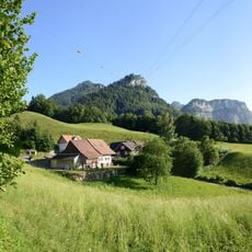
Bürgle, Ortsteil von Dornbirn
Location: Dornbirn
Elevation above the sea: 582 m
GPS coordinates: 47.39617,9.75203
Latest update: March 9, 2025 03:07

Karren
925 m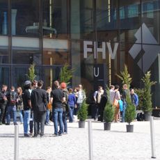
Vorarlberg University of Applied Sciences
1.3 km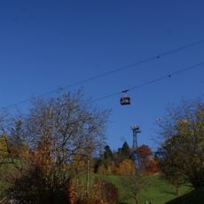
Karrenseilbahn
496 m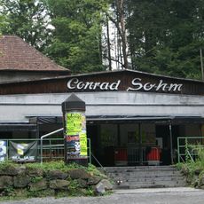
Conrad Sohm
1.1 km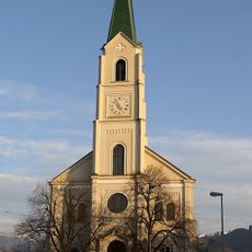
Parish church Dornbirn-Hatlerdorf
1.2 km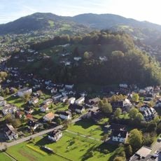
Zanzenberg
963 m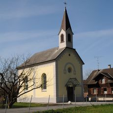
Kapelle Zu den Sieben Schmerzen Mariä (Vorderachmühle)
839 m
Lourdes-Kapelle
583 m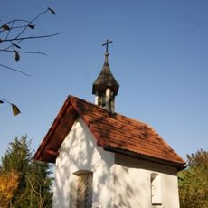
Kapelle Bürgle
231 m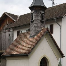
Marienkapelle Hintere Achmuehle
764 m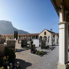
Friedhof Hatlerdorf
1.1 km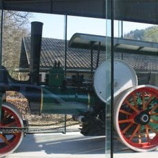
Tricycle road roller J. A. Maffei
495 m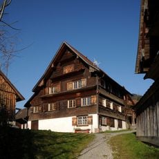
Häfenberg 2, Dornbirn
1.3 km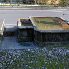
Hintere Achmühlerstraße 26, Brunnenanlage
835 m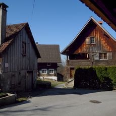
Häfenberg Waschhaus, Dornbirn
1.3 km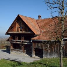
Häfenberg 4, Dornbirn
1.3 km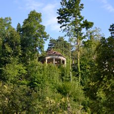
Gloriette am Zanzenberg
1.3 km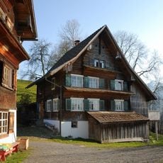
Häfenberg 3, Dornbirn
1.3 km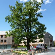
Lime tree (Tilia sp.)
701 m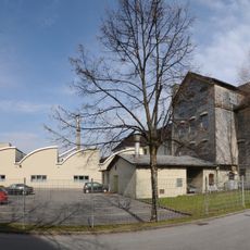
Ehemalige Spinnerei Juchen
987 m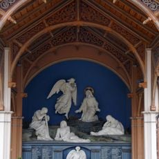
Kriegerdenkmal
1.1 km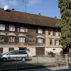
Schützenstraße 2-4, Hatlerdorf
1.2 km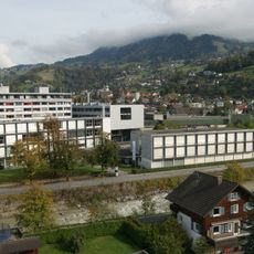
Alte Textilschule
1.2 km
Campsite in Dornbirn
546 m
Häfenberg 1, Dornbirn
1.3 km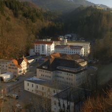
Textilfabrik Steinebach
1.1 km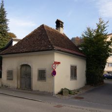
Waschhaus Sebastianstraße, Dornbirn
1.4 km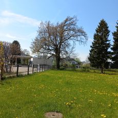
Pedunculate oak natural monument
1.3 kmVisited this place? Tap the stars to rate it and share your experience / photos with the community! Try now! You can cancel it anytime.
Discover hidden gems everywhere you go!
From secret cafés to breathtaking viewpoints, skip the crowded tourist spots and find places that match your style. Our app makes it easy with voice search, smart filtering, route optimization, and insider tips from travelers worldwide. Download now for the complete mobile experience.

A unique approach to discovering new places❞
— Le Figaro
All the places worth exploring❞
— France Info
A tailor-made excursion in just a few clicks❞
— 20 Minutes