
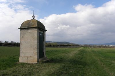
Teil der 1. Wiener Hochquellenleitung, Denkmalgeschütztes Objekt in Kottingbrunn (129205)
Location: Kottingbrunn
Part of: First Vienna Mountain Spring Pipeline
GPS coordinates: 47.94171,16.21455
Latest update: April 13, 2025 16:19
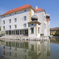
Schloss Kottingbrunn
1.6 km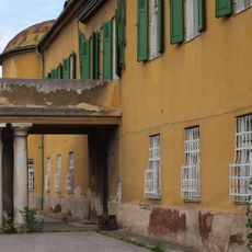
Schloss Gainfarn
2.6 km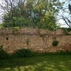
Pfarrkirche hl. Martin, Leobersdorf
1.5 km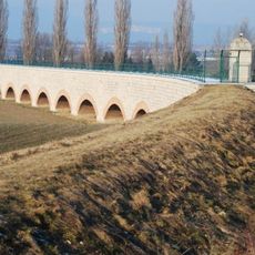
Leobersdorf Aqueduct
2.2 km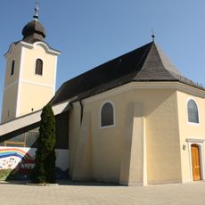
Parish church in Kottingbrunn
1.7 km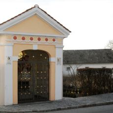
Johannes Nepomuk-Kapelle
1.7 km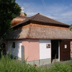
Schutzmantelkapelle
880 m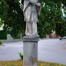
Figurenbildstock hl. Johannes Nepomuk, Gainfarn
2.2 km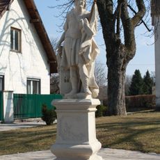
Figurenbildstock hl. Florian
1.7 km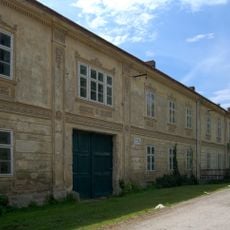
Kunstmühle Dornau
1.9 km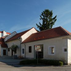
LEUM - Lichtmuseum Leobersdorf
1.6 km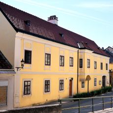
Pfarrhof
2.6 km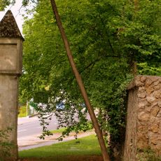
Bildstock, Pestsäule
2.6 km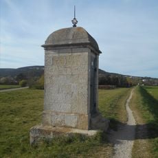
Teil der 1. Wiener Hochquellenleitung
2.2 km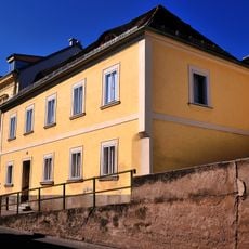
Wohnhaus, ehem. Forstamtsgebäude
2.6 km
Wohnhaus
1.7 km
Figurenbildstock hl. Johannes Nepomuk
1.7 km
Kloster der Dienerinnen des Heiligsten Herzens Jesu
2.5 km
Bildstock
923 m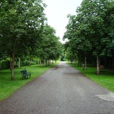
Schlosspark Kottingbrunn
1.5 km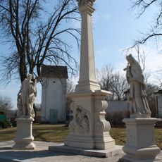
Pestsäule
1.7 km
Pfarrhof
1.5 km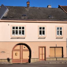
Bürgerhaus
1.7 km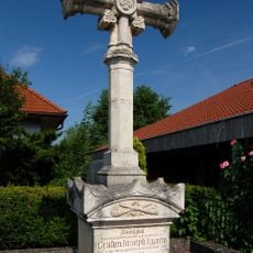
Ugarte-Kreuz
1.4 km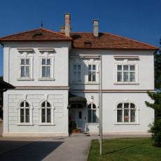
Pfarrhof
1.8 km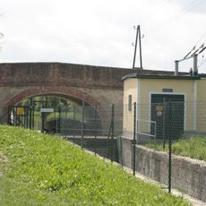
Wiener Neustädter Kanal
1.9 km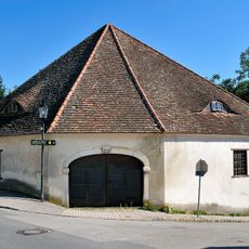
Wirtschaftsgebäude, Kornmesserhaus
2.5 km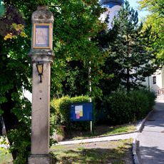
Bildstock
2.6 kmReviews
Visited this place? Tap the stars to rate it and share your experience / photos with the community! Try now! You can cancel it anytime.
Discover hidden gems everywhere you go!
From secret cafés to breathtaking viewpoints, skip the crowded tourist spots and find places that match your style. Our app makes it easy with voice search, smart filtering, route optimization, and insider tips from travelers worldwide. Download now for the complete mobile experience.

A unique approach to discovering new places❞
— Le Figaro
All the places worth exploring❞
— France Info
A tailor-made excursion in just a few clicks❞
— 20 Minutes