
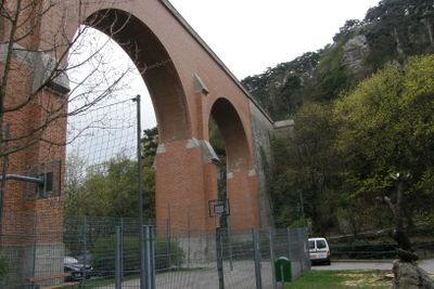
Teil der 1. Wiener Hochquellenleitung, Denkmalgeschütztes Objekt in Mödling (129202)
Location: Mödling
Part of: Aqueduct / Aquädukt Mödling
GPS coordinates: 48.08920,16.27976
Latest update: March 4, 2025 07:12
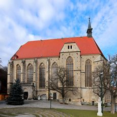
Othmarkirche
443 m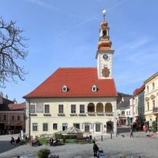
Altes Rathaus Mödling
477 m
Amphitheater Maria Enzersdorf
314 m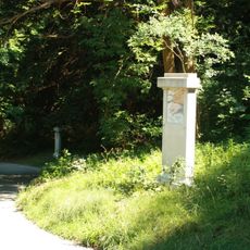
(Gartenbau-)Denkmale sowie Weg- und Treppensystem im Jubiläumspark/Stadtpark
375 m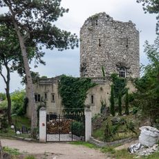
Schwarzer Turm, Mödling
473 m
(Gartenbau-)Denkmale sowie Weg- und Treppensystem im Jubiläumspark
342 m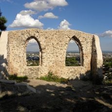
Augengläser, Mödling
469 m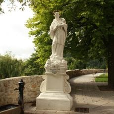
Statue John of Nepomuk at Sankt-Othmar-Kirche, Mödling
459 m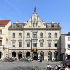
Posthof Mödling
463 m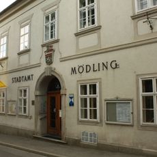
Neues Rathaus, Stadtamt
444 m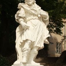
Figurenbildstock hl. Koloman
467 m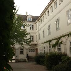
Rathaus/Gemeindeamt, Hinterhaus
446 m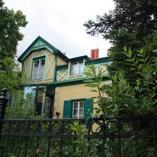
Villa/Landhaus
354 m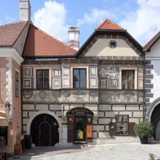
Rathausgasse 6
472 m
Bürgerhaus
441 m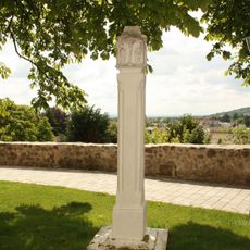
Pfeilerbildstock
469 m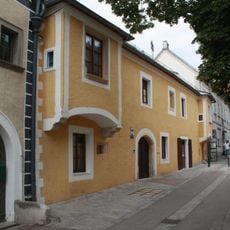
Bürgerhaus Pfarrgasse 5, Mödling
455 m
Pietà-Pfeiler
472 m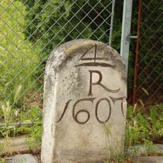
Grenzstein
287 m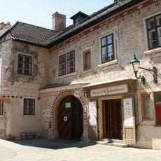
Herzoghof (Mödling)
465 m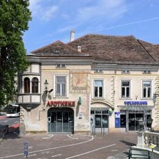
Kostkahaus, Mödling
463 m
Pfarrhof
414 m
Bürgerhaus Pfarrgasse 3, Mödling
459 m
Figur hl. Othmar
431 m
Bürgerhaus Rathausgasse 4, Mödling
467 m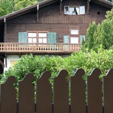
Anton-Wildgans-Haus
364 m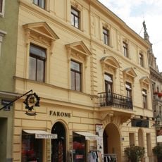
Miethaus
457 m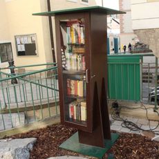
Public bookcase Mödling
458 mReviews
Visited this place? Tap the stars to rate it and share your experience / photos with the community! Try now! You can cancel it anytime.
Discover hidden gems everywhere you go!
From secret cafés to breathtaking viewpoints, skip the crowded tourist spots and find places that match your style. Our app makes it easy with voice search, smart filtering, route optimization, and insider tips from travelers worldwide. Download now for the complete mobile experience.

A unique approach to discovering new places❞
— Le Figaro
All the places worth exploring❞
— France Info
A tailor-made excursion in just a few clicks❞
— 20 Minutes