Burg Sunersreut, abandoned medieval fortification or settlement site in Rainbach im Innkreis, Upper Austria
Location: Rainbach im Innkreis
GPS coordinates: 48.46194,13.54375
Latest update: November 18, 2025 20:04
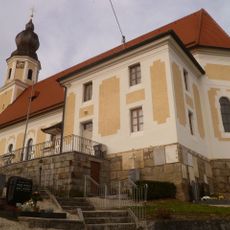
Pfarrkirche hl. Petrus, Rainbach im Innkreis
985 m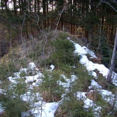
Burgstall Sumetsrad
22 m
Burgstall Steinberg
1.6 km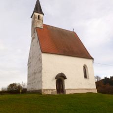
Filialkirche hl. Katharina, Rainbach im Innkreis
2.1 km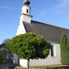
Filialkirche Hofalt
3.6 km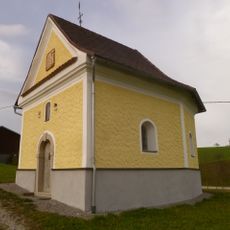
Zöhrerkapelle, Rainbach im Innkreis
1.6 km
Friedenslinde von Eisenbirn
1.8 km
Burgstall Hingsham
876 m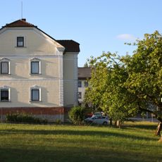
Pfarrhof Münzkirchen
2.9 km
Troadkasten
3 km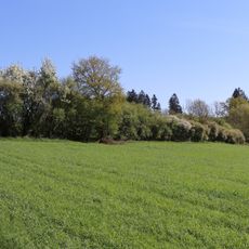
Hecke in Salling
854 m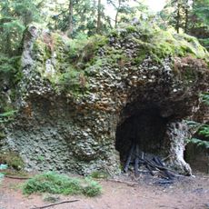
Quarzitkonglomerat bei Rainbach
2 km
Wayside shrine, Christianity
3.5 km
Marterl
2.6 km
Backofenstein
2 km
Wegkreuz
3.2 km
Bildstock
2 km
Bildstock
1.9 km
Marterl
3 km
Wayside cross
2.2 km
Wegkreuz
2.1 km
Wegkreuz
1.3 km
Wegkreuz
3.4 km
Wegkreuz
3.8 km
Wegkreuz
3.8 km
Marterl
3.2 km
Wayside shrine
1.3 km
Wayside cross
1.8 kmVisited this place? Tap the stars to rate it and share your experience / photos with the community! Try now! You can cancel it anytime.
Discover hidden gems everywhere you go!
From secret cafés to breathtaking viewpoints, skip the crowded tourist spots and find places that match your style. Our app makes it easy with voice search, smart filtering, route optimization, and insider tips from travelers worldwide. Download now for the complete mobile experience.

A unique approach to discovering new places❞
— Le Figaro
All the places worth exploring❞
— France Info
A tailor-made excursion in just a few clicks❞
— 20 Minutes