
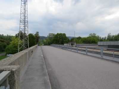
Melk power station dam, سد في بلدة ميلك، النمسا
Location: Melk
Location: Emmersdorf an der Donau
Location: Zelking-Matzleinsdorf
Location: Leiben
Inception: 1979
Part of: Melk power station
GPS coordinates: 48.22450,15.30400
Latest update: March 11, 2025 19:42
Schloss Luberegg
1.2 km
Birago-Kaserne
1.7 km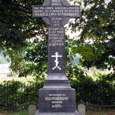
Monument to the victims of the fire in Melk Abbey (1805)
824 m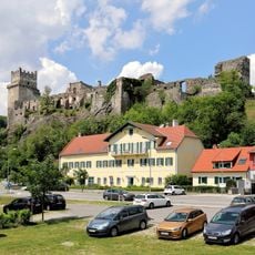
Burgruine Weitenegg
962 m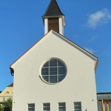
Erlöserkirche (Melk)
1.6 km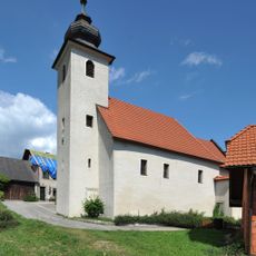
Kath. Filialkirche hl. Georg
956 m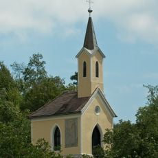
Ortskapelle Winden
1.1 km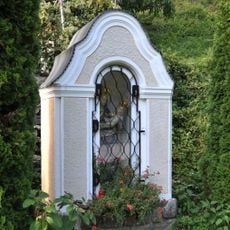
Wegkapelle mit Mondsichelmadonna
1.5 km
Straßenbrücke Weitenegg
801 m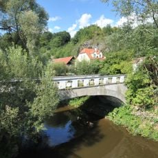
Straßenbrücke Leiben
805 m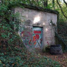
Wasserspeicher in Pöverding
1.7 km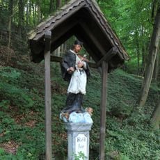
Figurenbildstock hl. Johannes Nepomuk
1.6 km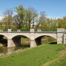
Straßenbrücke über den Melkfluss
962 m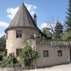
Brauhausturm Melk
1.7 km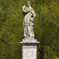
Figurenbildstock hl. Johannes Nepomuk
986 m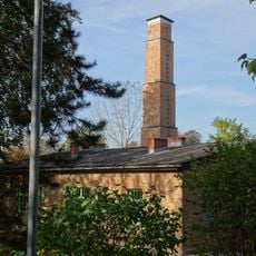
Ehem. Krematorium, KZ-Gedenkstätte
1.6 km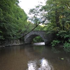
Fußgängerbrücke, Johannesbrücke (Fürnberg´sche Poststraße)
1.6 km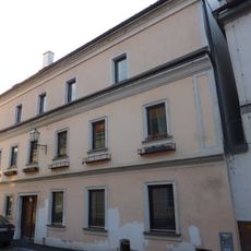
Bürgerhaus
1.7 km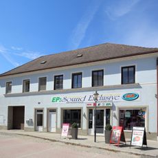
Geschäftshaus, ehem. Brauhausschupfen
1.7 km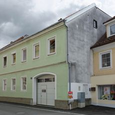
Bürgerhaus
1.7 km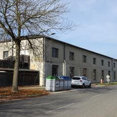
Garagenbaracke, ehem. Objekt 10
1.7 km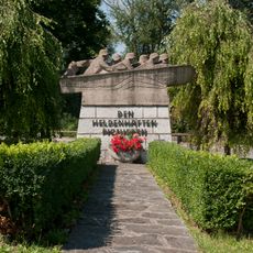
Kriegerdenkmal, Pionierdenkmal
1.6 km
Fürnbergsche Poststraße - Johannesbrücke
1.6 km
Fürnberg´sche Poststraße (Abschnitt in der KG St. Georgen)
1.6 km
Wohn- und Geschäftshaus
1.7 km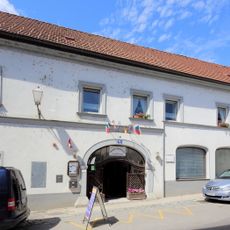
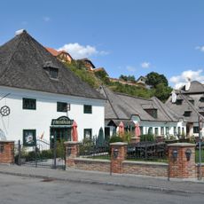
Gasthof Goldener Ochs
1.7 km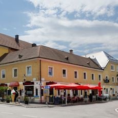
Gasthaus, Altes Brauhaus
1.7 km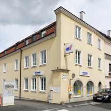
Bürgerhaus
1.7 kmReviews
Visited this place? Tap the stars to rate it and share your experience / photos with the community! Try now! You can cancel it anytime.
Discover hidden gems everywhere you go!
From secret cafés to breathtaking viewpoints, skip the crowded tourist spots and find places that match your style. Our app makes it easy with voice search, smart filtering, route optimization, and insider tips from travelers worldwide. Download now for the complete mobile experience.

A unique approach to discovering new places❞
— Le Figaro
All the places worth exploring❞
— France Info
A tailor-made excursion in just a few clicks❞
— 20 Minutes