
Südburgenländisches Hügel- und Terrassenland, protected area in Austria (1004)
Location: Burgenland
Inception: 1974
GPS coordinates: 47.06780,16.42060
Latest update: December 4, 2025 22:16
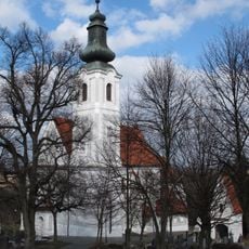
Pfarrkirche Gaas
2.6 km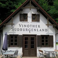
Weinmuseum Moschendorf
3.2 km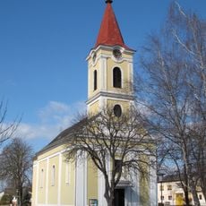
Pfarrkirche Strem
2.7 km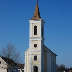
Saint George Church
501 m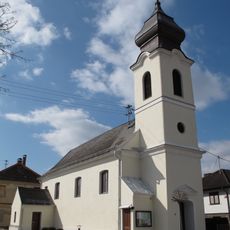
Filialkirche St. Anna, Gaas
3.6 km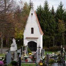
Friedhof
2.6 km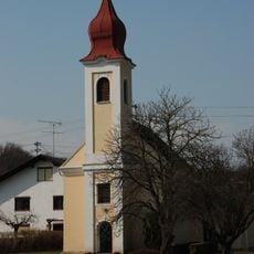
Saint John the Evangelist Church
3.3 km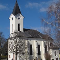
Kath. Filialkirche zur seligsten Jungfrau Maria
3.8 km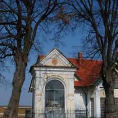
Antoniuskapelle
2.3 km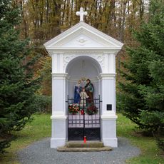
Familienkapelle
2.7 km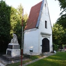
Kerzenkapelle Gaas
2.6 km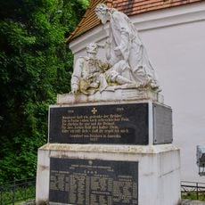
Kriegerdenkmal Gaas
2.6 km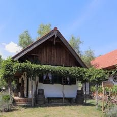
Keller
4 km
Volksschule Strem
2.9 km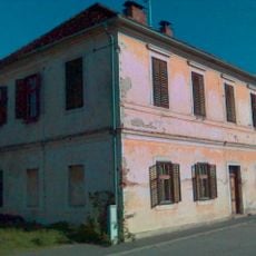
Ehem. kath. Volksschule
3.6 km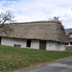
Keller
4 km
Keller
4 km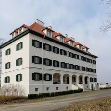
Ehem. Zollwachwohngebäude
3.2 km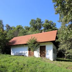
Keller
3.9 km
Keller
3.9 km
Ökoenergierad
2.7 km
Marterl
2.7 km
Memorial
3.8 km
Wayside cross
3.8 km
Marterl am Feldweg
1.5 km
Amerikanerkreuz
2.6 km
Water well
3.9 km
Memorial, war memorial
2.7 kmReviews
Visited this place? Tap the stars to rate it and share your experience / photos with the community! Try now! You can cancel it anytime.
Discover hidden gems everywhere you go!
From secret cafés to breathtaking viewpoints, skip the crowded tourist spots and find places that match your style. Our app makes it easy with voice search, smart filtering, route optimization, and insider tips from travelers worldwide. Download now for the complete mobile experience.

A unique approach to discovering new places❞
— Le Figaro
All the places worth exploring❞
— France Info
A tailor-made excursion in just a few clicks❞
— 20 Minutes