
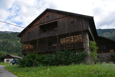
Wirtschaftsgebäude Gstinig, Wirtschaftsgebäudedes Parrhofes Gstinig im Dorf Ainet der Gemeinde Ainet, Bezirk Lienz
Location: Ainet
Elevation above the sea: 728 m
GPS coordinates: 46.86443,12.69094
Latest update: March 5, 2025 08:11
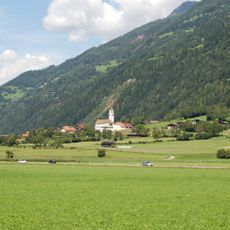
Pfarrkirche Ainet
273 m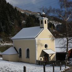
Alkus, St. Josefs-Kapelle
1.2 km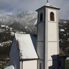
Kapelle hl. Wolfgang
919 m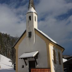
Alkus, St. Maria Kapelle
1.6 km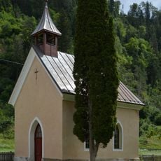
Ainet, Herz-Jesu-Kapelle
2.2 km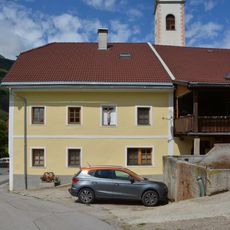
Bauernhaus Ortner
301 m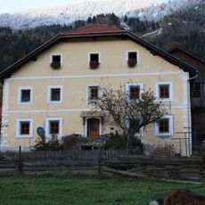
Ainet, Wohnhaus des Paarhofes Kircher
243 m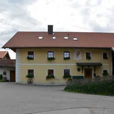
Bauernhaus Schmied
103 m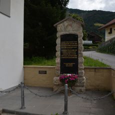
Denkmal 1809 in Ainet
124 m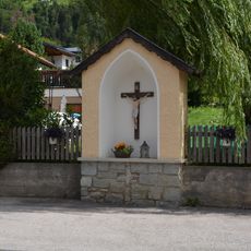
Nischenbildstock mit Kruzifix in Ainet
123 m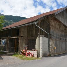
Wirtschaftsgebäude Kircher
253 m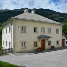
Widum Ainet
301 m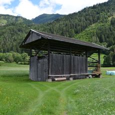
Messnerharpfe
555 m
Bauernhaus Ploner
184 m
Speicher Kircher-Laden
231 m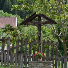
Wegkreuz Ortnerkreuz
311 m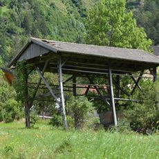
Singerharpfe
221 m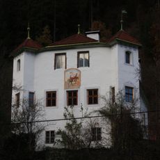
Ansitz Weiherburg
1.8 km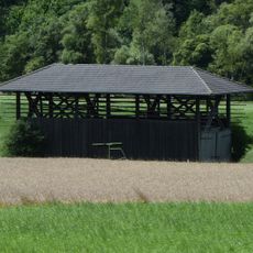
Kircherharpfe
481 m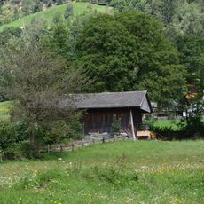
Ortnerharpfe
440 m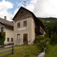
Schmiede Kofler, Roderer
102 m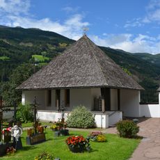
Friedhofskapelle Ainet
238 m
Paarhof Ploner
179 m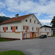
Ainet 80
190 m
Trattnerstöckl
2.1 km
Unteralkus
1.6 km
Wirtschaftsgebäude Ploner
174 m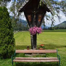
Wegkreuz Serafin
936 mVisited this place? Tap the stars to rate it and share your experience / photos with the community! Try now! You can cancel it anytime.
Discover hidden gems everywhere you go!
From secret cafés to breathtaking viewpoints, skip the crowded tourist spots and find places that match your style. Our app makes it easy with voice search, smart filtering, route optimization, and insider tips from travelers worldwide. Download now for the complete mobile experience.

A unique approach to discovering new places❞
— Le Figaro
All the places worth exploring❞
— France Info
A tailor-made excursion in just a few clicks❞
— 20 Minutes