Kunstpark Sankt Ruprecht
Location: Sankt Ruprecht an der Raab
GPS coordinates: 47.15721,15.66320
Latest update: November 16, 2025 07:46
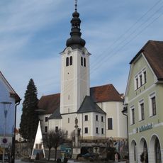
Pfarrkirche Sankt Ruprecht an der Raab
339 m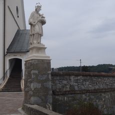
Ehem. Friedhof mit Stiegenanlage, Ummauerung und integr. Figurenbildstock hl. Johannes Nepomuk
398 m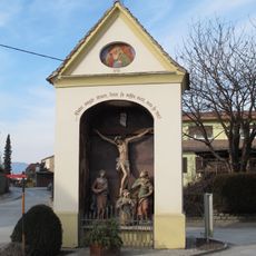
Flur-/Wegkapelle Spitalkreuz
138 m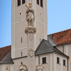
Mariensäule
419 m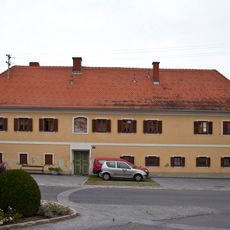
Ehem. Bürgerspital, Armenhaus
134 m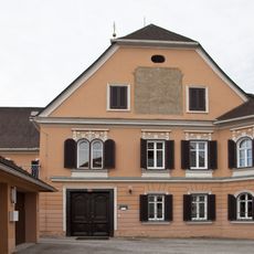
Pfarrhof (Dechantei)
339 m
Frühmittelalterliche Siedlung St. Ruprecht an der Raab
1.4 km
Privatvolksschule der Dominikanerinnen
283 m
Volksschule
290 m
Monument
1.2 km
Wayside shrine
1.3 km
Wayside shrine
607 m
Wayside cross
889 m
Wayside cross
740 m
Klaub-Schau-Denkmal
1.1 km
Wayside shrine
1.1 km
Wayside shrine
1 km
Wayside cross
1.3 km
Wayside shrine
771 m
Wayside shrine
1.4 km
Wayside shrine
1.3 km
Wayside shrine
1.1 km
Wayside shrine
793 m
Wayside shrine
960 m
Wayside shrine
655 m
Wayside shrine
452 m
Wayside shrine
1.2 km
Tauskreuz
1.2 kmReviews
Visited this place? Tap the stars to rate it and share your experience / photos with the community! Try now! You can cancel it anytime.
Discover hidden gems everywhere you go!
From secret cafés to breathtaking viewpoints, skip the crowded tourist spots and find places that match your style. Our app makes it easy with voice search, smart filtering, route optimization, and insider tips from travelers worldwide. Download now for the complete mobile experience.

A unique approach to discovering new places❞
— Le Figaro
All the places worth exploring❞
— France Info
A tailor-made excursion in just a few clicks❞
— 20 Minutes