Der Aufstieg des Hermann
Location: Detmold
Creator: Hans Kordes
Creator: Hans Kordes
GPS coordinates: 51.92436,8.83985
Latest update: November 24, 2025 03:32
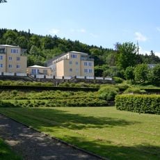
Sanatorium Grotenburg
558 m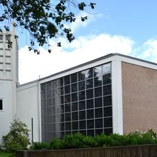
St. Michael Church
756 m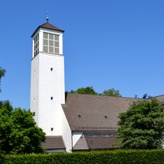
Evangelisch-reformierte Kirche Hiddesen
276 m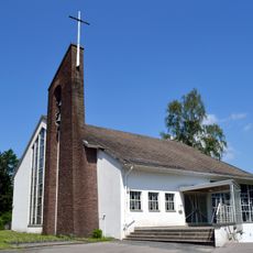
St. Stephanus
393 m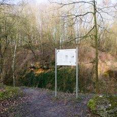
Kiesgrube Kater
1 km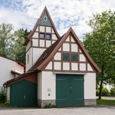
Fire station
643 m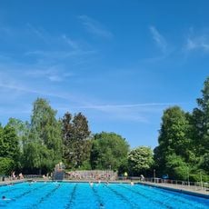
Freibad Hiddesen
343 m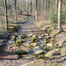
Heidenbach
1.1 km
LSG-Scherenbruch
787 m
LSG-Biotopkomplex am Viethberg
1.1 km
Grotenburg
1.1 km
Nashorn
444 m
Archaeological site
1.1 km
Schwalbenturm
437 m
Der Wartturm auf dem Vietberg
1.1 km
Klangstein im Sinnesgarten
720 m
Scenic viewpoint
1.1 km
Scenic viewpoint
916 m
Gedenkeiche für Krieg 1870/1871
256 m
Archaeological site
1 km
Gletscherschliff
1.1 km
Archaeological site
1.1 km
Archaeological site
1.2 km
Archaeological site
1.2 km
Archaeological site
1.2 km
Archaeological site
1.2 km
Archaeological site
1.2 km
Archaeological site
1.1 kmReviews
Visited this place? Tap the stars to rate it and share your experience / photos with the community! Try now! You can cancel it anytime.
Discover hidden gems everywhere you go!
From secret cafés to breathtaking viewpoints, skip the crowded tourist spots and find places that match your style. Our app makes it easy with voice search, smart filtering, route optimization, and insider tips from travelers worldwide. Download now for the complete mobile experience.

A unique approach to discovering new places❞
— Le Figaro
All the places worth exploring❞
— France Info
A tailor-made excursion in just a few clicks❞
— 20 Minutes