Saxons, Dragons, Nature, People & The World
Location: London Borough of Hackney
GPS coordinates: 51.55080,-0.03421
Latest update: November 26, 2025 01:32
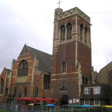
St Mary of Eton
649 m
Gainsborough Primary School
790 m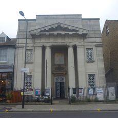
Chats Palace
594 m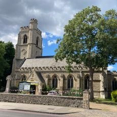
Church of St Barnabas
621 m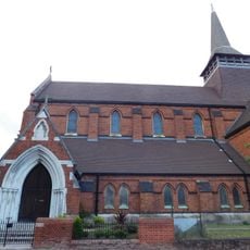
Former Church of St Paul
499 m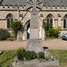
Homerton War Memorial
624 m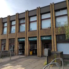
Homerton Library
562 m
Daubeny Junior School
338 m
Tower To North Of Church Of St Mary Of Eton
641 m
Eton House
619 m
Forecourt Railings To Daubeny Junior School
367 m
North Wing Of Convent Of Sacred Heart
561 m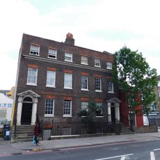
140 And 142, Homerton High Street E9
781 m
Daubeny Infants' School
396 m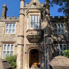
St Barnabas's Vicarage
665 m
Gainsborough School Including Caretaker's House, Outdoor Wcs And Covered Play Areas, Handicraft Block And Special School
794 m
168 And 170, Homerton High Street E9
705 m
Mission Hall To North Of Church Of St Mary Of Eton
620 m
Pair Of K2 Telephone Kiosks Outside Hackney Hospital
498 m
2 Posts On Steps To South Of The Deuragon Arms Public House
907 m
Post Office Pillar Box At West Corner Of Danesdale Road
867 m
Forecourt Wall To Church And Vicarage Of St Barnabas
624 m
Clapton Park Lower School
793 m
Cre8 Centre
512 m
Boulder (Mabley Green)
232 m
Water Jugglers
601 m
History Trees
890 m
Mural, Work of art
646 mReviews
Visited this place? Tap the stars to rate it and share your experience / photos with the community! Try now! You can cancel it anytime.
Discover hidden gems everywhere you go!
From secret cafés to breathtaking viewpoints, skip the crowded tourist spots and find places that match your style. Our app makes it easy with voice search, smart filtering, route optimization, and insider tips from travelers worldwide. Download now for the complete mobile experience.

A unique approach to discovering new places❞
— Le Figaro
All the places worth exploring❞
— France Info
A tailor-made excursion in just a few clicks❞
— 20 Minutes