
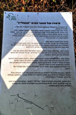
מצפור טאפליין
Location: מועצה אזורית גליל עליון
GPS coordinates: 33.23404,35.62527
Latest update: November 12, 2025 10:58
Dan
3 km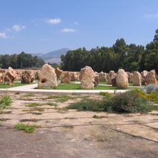
1997 Israeli helicopter disaster monument
1.9 km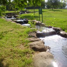
Hurshat Tal
1.6 km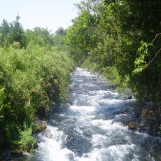
Tel Dan Nature Reserve
3 km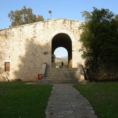
Beit Ussishkin Nature Museum
2.9 km
The Prehistoric Man Museum
1.6 km
HaGoshrim
990 m
Shemurat Tel Dan
1.3 km
Shemurat Naẖal HaH̱armon
2.8 km
Shemurat Naẖal Senir
414 m
Senir stream nature reserve
250 m
הטרקטור המשוריין
2.5 km
תל תורמוס
3.1 km
סינגל החצבני
2.8 km
Petting Zoo
1.2 km
מסע באיזי טיולי שטח
2.5 km
תצפית האלה האטלנטית
2.8 km
תצפית המוצב
3.1 km
Scenic viewpoint
776 m
Horbat Mamzi
805 m
Israel National Trail library
2.5 km
Memorial
1.9 km
Memorial
1.1 km
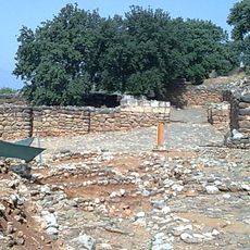
המיצדית
968 m
Cultic Site
3 km
טחנת קמח בנחל דן
2.8 km
Waterfall
3.1 km
Waterfall
3.1 kmReviews
Visited this place? Tap the stars to rate it and share your experience / photos with the community! Try now! You can cancel it anytime.
Discover hidden gems everywhere you go!
From secret cafés to breathtaking viewpoints, skip the crowded tourist spots and find places that match your style. Our app makes it easy with voice search, smart filtering, route optimization, and insider tips from travelers worldwide. Download now for the complete mobile experience.

A unique approach to discovering new places❞
— Le Figaro
All the places worth exploring❞
— France Info
A tailor-made excursion in just a few clicks❞
— 20 Minutes