Https://photos.app.goo.gl/n9auuAtdQK8RRA6D7
Location: Vang
Website: https://images.mapillary.com/mT0W5nybNYNhGFZNWc3waf/thumb-2048.jpg
GPS coordinates: 61.06038,8.68145
Latest update: October 26, 2025 16:57
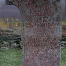
Vang stone
9.3 km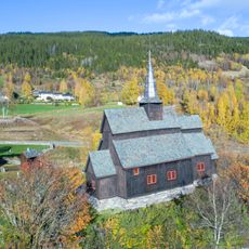
Høre stave church
12.3 km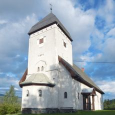
Lomen Church
13.9 km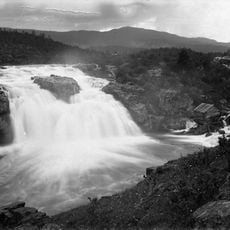
Ryfossen
11.5 km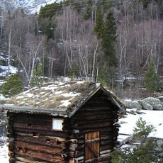
Leinekvernene
13.3 km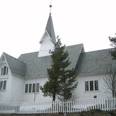
Heensåsen Church
12.3 km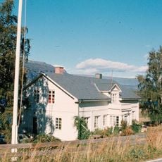
Vang prestegård
9.2 km
Remmingen
12 km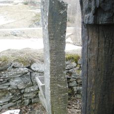
Kvien
12.3 km
Liastølen - heimstøler
9.6 km
Kårstad Nordre
11.5 km
Skålgropstein i Valdres
11.5 km
Sparstad
11.7 km
Gamlestølen
13.7 km
Bekkestykket
11.9 km
Sparstad
11.7 km
Kattevål øvre
9.2 km
Work of art, sculpture
4.5 km
Scenic viewpoint
12.3 km
Scenic viewpoint
12.1 km
Scenic viewpoint
1.2 km
Scenic viewpoint
552 m
Scenic viewpoint
147 m
Scenic viewpoint
42 m
Sputrefossen
13.7 km
Hesterei
9.1 km
Scenic viewpoint
11.3 km
Scenic viewpoint
10.5 kmReviews
Visited this place? Tap the stars to rate it and share your experience / photos with the community! Try now! You can cancel it anytime.
Discover hidden gems everywhere you go!
From secret cafés to breathtaking viewpoints, skip the crowded tourist spots and find places that match your style. Our app makes it easy with voice search, smart filtering, route optimization, and insider tips from travelers worldwide. Download now for the complete mobile experience.

A unique approach to discovering new places❞
— Le Figaro
All the places worth exploring❞
— France Info
A tailor-made excursion in just a few clicks❞
— 20 Minutes