Bildstock
Location: Hohenau an der March
GPS coordinates: 48.61482,16.89664
Latest update: November 16, 2025 22:10
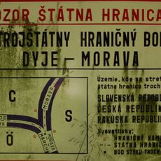
Austria–Czech Republic–Slovakia tripoint
3.2 km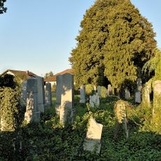
Jewish cemetery, Hohenau an der March
904 m
Fatzihof
2.4 km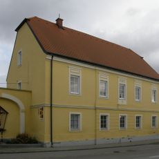
Pfarrhof Rabensburg
3.2 km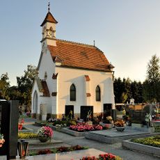
Friedhof christlich
734 m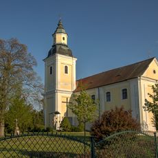
Pfarrkirche Auffindung des hl. Kreuzes, Hohenau an der March
1.7 km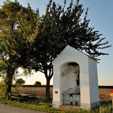
Flur-/Wegkapelle
292 m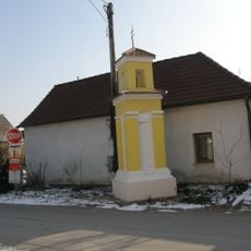
Bildstock
2.9 km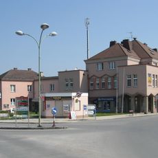
Rathaus Hohenau an der March
1.1 km
Museum Hohenau an der March
1.2 km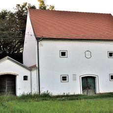
Fürstlich Liechtensteinsche Presshäuser, Hohenau an der March
195 m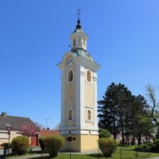
Bell tower, Hohenau an der March
732 m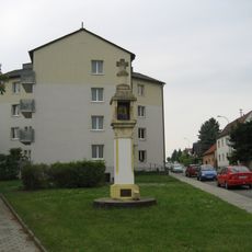
Lichtsäule, sog. Schwedenkreuz
1.4 km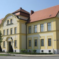
Emil Kuntner-Hauptschule
1.1 km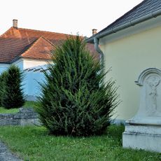
Pfarrhof Hohenau an der March
1.4 km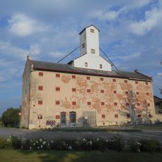
Granary Hohenau an der March
1.4 km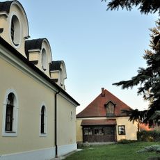
Kirchhof
1.6 km
Glockenturm
730 m
Hraniční kámen Markrabství moravského
3.1 km
Soutok Moravy a Dyje
3.2 km
Wayside shrine
2.4 km
Wayside cross
1.7 km
8/b2/A-180
2.1 km
8/b3/A-200 S
1.9 km
8/b5/A-140
3.2 km
8/b6/A-120
2.6 km
Weißes Kreuz
1.7 km
Aubad Hohenau
1.2 kmReviews
Visited this place? Tap the stars to rate it and share your experience / photos with the community! Try now! You can cancel it anytime.
Discover hidden gems everywhere you go!
From secret cafés to breathtaking viewpoints, skip the crowded tourist spots and find places that match your style. Our app makes it easy with voice search, smart filtering, route optimization, and insider tips from travelers worldwide. Download now for the complete mobile experience.

A unique approach to discovering new places❞
— Le Figaro
All the places worth exploring❞
— France Info
A tailor-made excursion in just a few clicks❞
— 20 Minutes