Heilige Maria
Location: Sankt Veit in der Südsteiermark
GPS coordinates: 46.76359,15.66758
Latest update: November 29, 2025 23:27
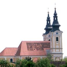
Church of Saint Vitus (St. Veit am Vogau)
3.7 km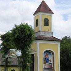
Ortskapelle
3.3 km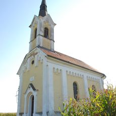
Ortskapelle
3.3 km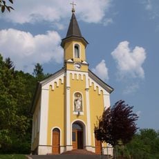
Ortskapelle
116 m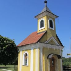
Ortskapelle Lind
3.3 km
Pestsäule Perbersdorf bei St. Veit
904 m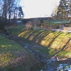
Rückhaltebecken Rohrbach
3.3 km
Hügelgräberfeld Neutersdorfer Wald
2.3 km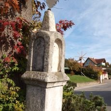
Pest- /Dreifaltigkeitssäule
3.5 km
Hügelgräber Fuchskogeln
1.6 km
Hügelgräberfeld Sugaritzwald-Tiergarten
2.7 km
Hügelgräberfeld Hartl
3.4 km
Summer-Kreuz
3.5 km
Leibnitzer Kreuz
2.5 km
Weltgrößter Dartpfeil
3.1 km
Wayside cross
1.4 km
Kriegerdenkmal
3.2 km
Memorial, stele
3 km
Grundzusammenlegung Hütt
2.1 km
Wayside cross, Christianity
3.3 km
Wayside cross
3.6 km
Wayside cross
1.2 km
Wayside cross
3.2 km
Wayside cross
3.3 km
Wayside cross
3.3 km
Wayside shrine
3.3 km
Stele, memorial
3.3 km
Pestkreuz Rohrbach
3.5 kmReviews
Visited this place? Tap the stars to rate it and share your experience / photos with the community! Try now! You can cancel it anytime.
Discover hidden gems everywhere you go!
From secret cafés to breathtaking viewpoints, skip the crowded tourist spots and find places that match your style. Our app makes it easy with voice search, smart filtering, route optimization, and insider tips from travelers worldwide. Download now for the complete mobile experience.

A unique approach to discovering new places❞
— Le Figaro
All the places worth exploring❞
— France Info
A tailor-made excursion in just a few clicks❞
— 20 Minutes