Historische dampfbetriebene Straßenwalze
Location: Krems an der Donau
GPS coordinates: 48.41861,15.62815
Latest update: November 18, 2025 21:24
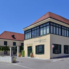
Winzer Krems
769 m
St. Paul
1.4 km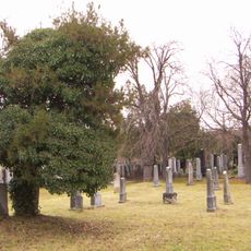
Jüdischer Friedhof Krems
337 m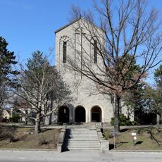
Pfarrkirche Lerchenfeld
532 m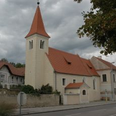
Antoniuskirche Krems an der Donau
1.2 km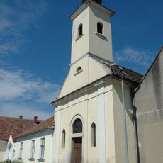
Kapelle
855 m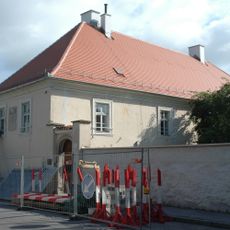
Ehem. Lesehof von St. Zeno in Reichenhall
1.4 km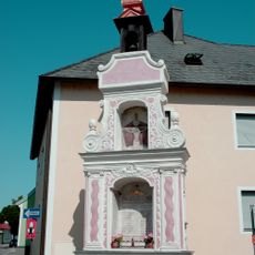
Bildstock, Kriegerdenkmal
943 m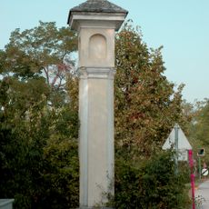
Bildstock
501 m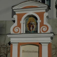
Weinhauskreuz
665 m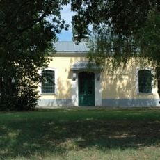
Wasserpumpwerk der Stadt Krems
934 m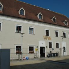
Ehem. Lilienfelderhof
1.3 km
Grabmal Kleewein
1.1 km
Ehem. Florianihof
1.5 km
Seufzerbrücke
1.1 km
Work of art, sculpture
1.5 km
Work of art, sculpture
895 m
Work of art, sculpture
475 m
Wayside shrine
1.4 km
Pestkreuz
1.5 km
Hl Urban
1.1 km
Memorial, war memorial
976 m
War memorial, memorial
816 m
Wayside shrine
1.2 km
Memorial, war memorial
859 m
Memorial cross, memorial
1.3 km
Memorial, war memorial
749 m
Wayside cross
1.3 kmReviews
Visited this place? Tap the stars to rate it and share your experience / photos with the community! Try now! You can cancel it anytime.
Discover hidden gems everywhere you go!
From secret cafés to breathtaking viewpoints, skip the crowded tourist spots and find places that match your style. Our app makes it easy with voice search, smart filtering, route optimization, and insider tips from travelers worldwide. Download now for the complete mobile experience.

A unique approach to discovering new places❞
— Le Figaro
All the places worth exploring❞
— France Info
A tailor-made excursion in just a few clicks❞
— 20 Minutes