Bildstock auf dem Gabetsberg
Location: Bezirk St. Pölten
GPS coordinates: 48.09353,15.51491
Latest update: November 14, 2025 03:16
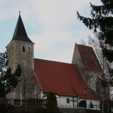
Pfarrkirche Hofstetten-Grünau
1.1 km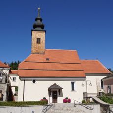
Pfarrkirche hl. Johannes der Täufer, Weinburg
2.5 km
Dorfmuseum Weinburg
2.5 km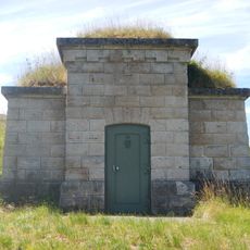
Aigelsbachdüker
1.5 km
Kanalbrücke Im Tanne
3 km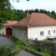
Pfarrhof Weinburg
2.5 km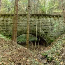
Kanalbrücken Mühlhofen
2.4 km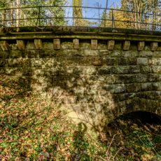
Kanalbrücke Im Tanne
3 km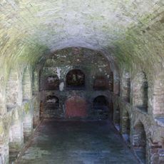
Grechtlergruft
2.5 km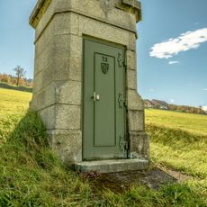
Einsteigturm 73, II HQL
339 m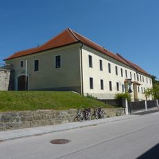
Pfarrhof
1 km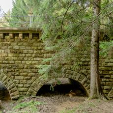
Aquädukt Lederhof 2
3 km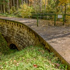
Kanalbrücke Im Tanne
3 km
Wayside shrine
943 m
Wayside shrine, Christianity
1 km
Catholic church building, place of worship, wayside cross, Christianity, house of prayer
1.9 km
Wayside shrine, Christianity
2.2 km
House of prayer, place of worship, wayside shrine, Christianity
2.1 km
Chapel, place of worship, Christianity, house of prayer
2.1 km
Wayside shrine
1.9 km
Wayside shrine
3 km
Restenbauer Höhe
2.5 km
Wayside cross
912 m
Ruine Waasen
1.9 km
Wayside cross
2.6 km
Wayside cross
2.2 km
Kapelle
279 m
Marienbild auf der Restenbauer Höhe
2.5 kmReviews
Visited this place? Tap the stars to rate it and share your experience / photos with the community! Try now! You can cancel it anytime.
Discover hidden gems everywhere you go!
From secret cafés to breathtaking viewpoints, skip the crowded tourist spots and find places that match your style. Our app makes it easy with voice search, smart filtering, route optimization, and insider tips from travelers worldwide. Download now for the complete mobile experience.

A unique approach to discovering new places❞
— Le Figaro
All the places worth exploring❞
— France Info
A tailor-made excursion in just a few clicks❞
— 20 Minutes