Tanah Bumbu, Administrative region in South Kalimantan, Indonesia
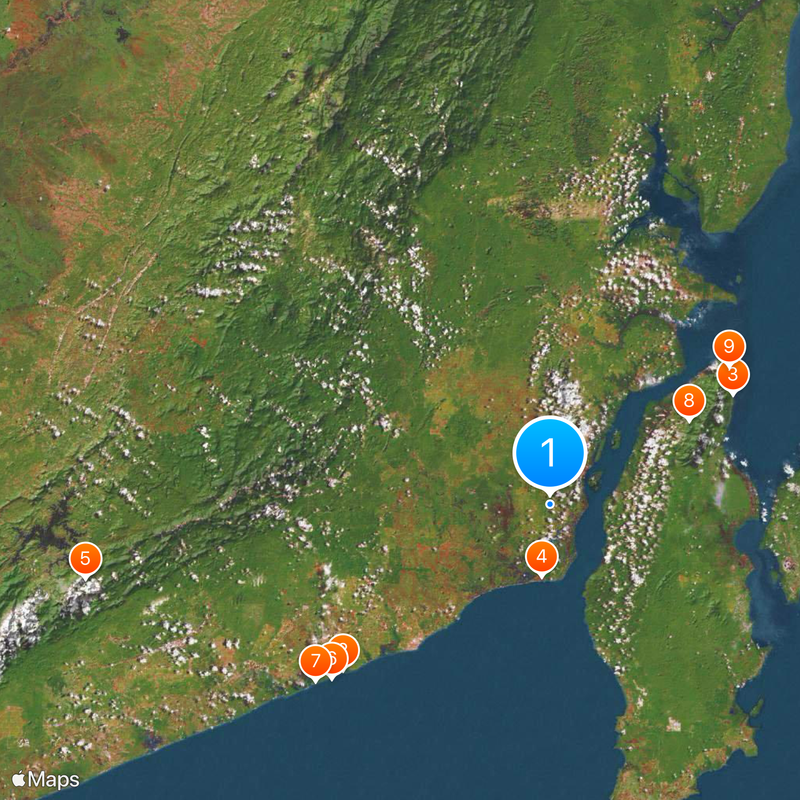
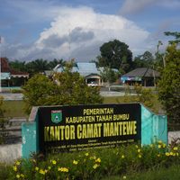
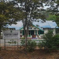
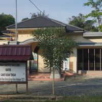
Tanah Bumbu is an administrative region in South Kalimantan that spans approximately 4,890 square kilometers across twelve districts. Batu Licin serves as its administrative center where most government offices are located.
The territory was established in 2003 as an independent regency after separating from Kotabaru, as mainland communities sought their own administration. This split reflected local populations' desire for greater self-governance and control over their region.
The region is home to multiple ethnic communities including Banjar, Dayak Bukit, and Bugis peoples, whose traditions shape daily life and local customs. You encounter this diversity in the markets, neighborhoods, and local celebrations where different practices coexist naturally.
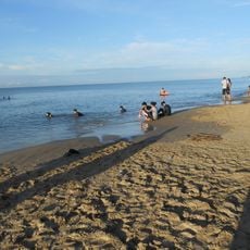
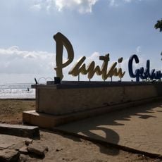
The region contains many villages and smaller urban settlements spread across the territory. When exploring, it helps to learn about local travel routes and distances beforehand, as accessibility between settlements can vary.
A stone mortar discovered in Cantung indicates that Hindu influences reached this region in ancient times. This finding reveals an early connection to eastern cultures long before the area developed into its present form.
The community of curious travelers
AroundUs brings together thousands of curated places, local tips, and hidden gems, enriched daily by 60,000 contributors worldwide.