
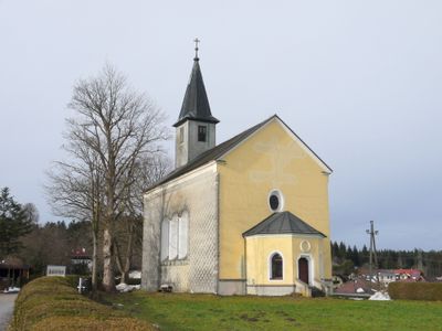
Saint Mary of Help Church, church building in Frankenmarkt, Austria
Location: Frankenmarkt
Address: Auleiten
GPS coordinates: 47.98964,13.40319
Latest update: March 3, 2025 23:10
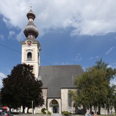
Kath. Pfarrkirche Mariä Himmelfahrt, Vöcklamarkt
6.2 km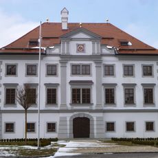
Schloss Stauff
2.3 km
Kalteis
5.9 km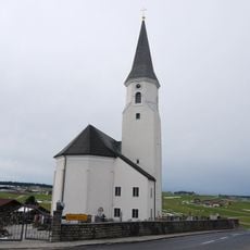
Saint Maximilian Church
2.7 km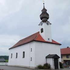
Fornach Parish Church
4.3 km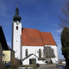
Pfarrkirche Weißenkirchen im Attergau
4.6 km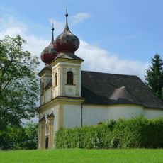
Evang. Filialkirche, Kalvarienbergkirche
6.1 km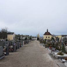
Friedhof Frankenmarkt
886 m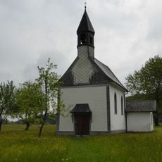
Kapelle hl. Familie in Jagdhub
5.7 km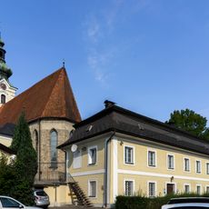
Pfarrhof Frankenmarkt
1.6 km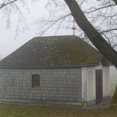
Ortskapelle
2.6 km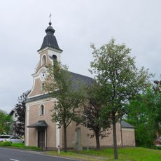
Kath. Filialkirche hl. Laurentius und ehem. Friedhofsfläche
4.9 km
Brunnen
1.4 km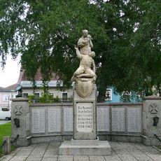
Kriegerdenkmal
6.3 km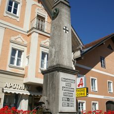
Brunnen, Kriegerdenkmal
1.3 km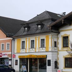
Bürgerhaus
1.4 km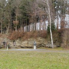
Landgraben Pöndorf
4 km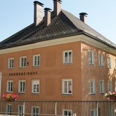
Kommunehaus
1.9 km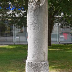
Miliarium
6.2 km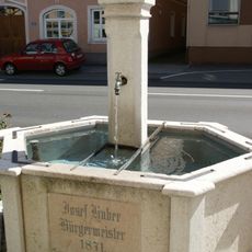
Brunnen
1.3 km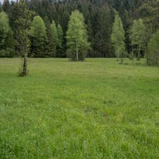
Strawiesen im Redltal
5.2 km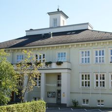
Volksschule
1.6 km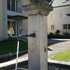
Brunnen
1.6 km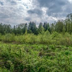
Kreuzbauernmoor
3.1 km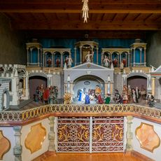
Krippenmuseum Frankenmarkt
1.5 km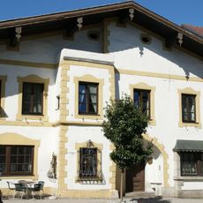
Gasthaus Zur Alten Post
1.4 km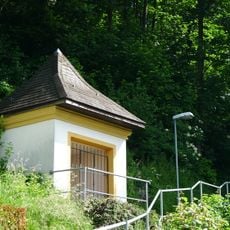
Kreuzwegstationen 1-5
6.2 km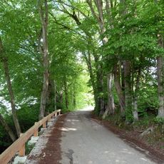
Allee in Maurachen
6.3 kmVisited this place? Tap the stars to rate it and share your experience / photos with the community! Try now! You can cancel it anytime.
Discover hidden gems everywhere you go!
From secret cafés to breathtaking viewpoints, skip the crowded tourist spots and find places that match your style. Our app makes it easy with voice search, smart filtering, route optimization, and insider tips from travelers worldwide. Download now for the complete mobile experience.

A unique approach to discovering new places❞
— Le Figaro
All the places worth exploring❞
— France Info
A tailor-made excursion in just a few clicks❞
— 20 Minutes