
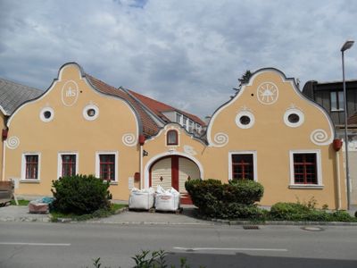
Bauernhof Triesterstraße 26, Neunkirchen, human settlement in Austria
Location: Neunkirchen
Address: Triesterstraße 26
GPS coordinates: 47.71894,16.07763
Latest update: March 15, 2025 14:18
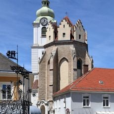
Church of the Assumption in Neunkirchen
353 m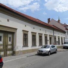
Städtisches Museum Neunkirchen, Lower Austria
601 m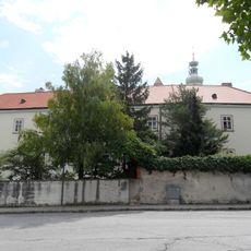
Minoritenkloster Neunkirchen
377 m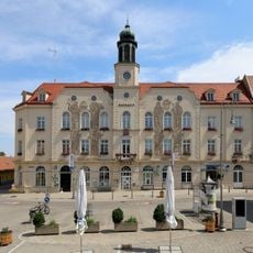
Rathaus Neunkirchen
350 m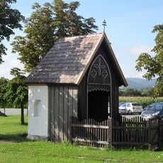
Flur-/Wegkapelle
581 m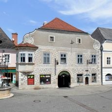
Sgraffitohaus Hauptplatz 11, Neunkirchen, Lower Austria
361 m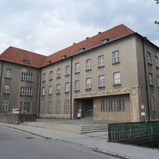
Bezirksgericht Neunkirchen, Lower Austria
115 m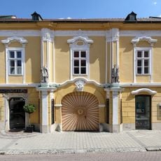
Former Paulinerkloster, Neunkirchen, Lower Austria
261 m
Haus Eigner I, Neunkirchen, Günther Domenig
435 m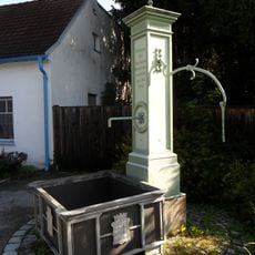
Brunnen
364 m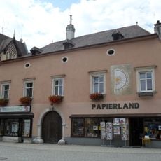
Hauptplatz 3, Neunkirchen, Lower Austria
314 m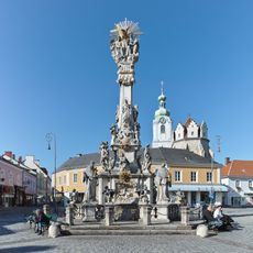
Dreifaltigkeitssäule Neunkirchen
329 m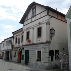
Gasthaus, ehem. Innungshaus
257 m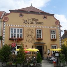
Zum Alten Bräuhaus, Neunkirchen, Lower Austria
371 m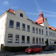
Schule
522 m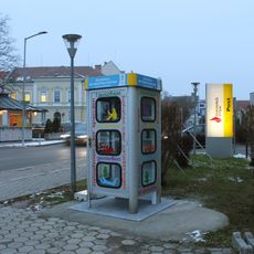
Public bookcase Neunkirchen
409 m
Marktbefestigung
482 m
Wohnhaus
330 m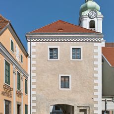
Stadttor
327 m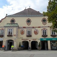
Wohn- und Geschäftshaus
308 m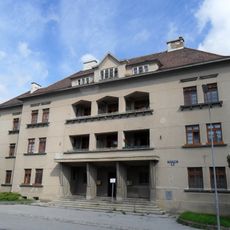
Ehem. Gendarmeriegebäude
489 m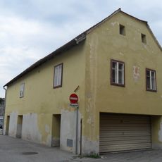
Wohnhaus, ehem. Fassmacherhaus
297 m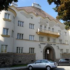
Kommunaler Wohnbau, Robert Zangerl-Hof
544 m
Bürgerhaus
432 m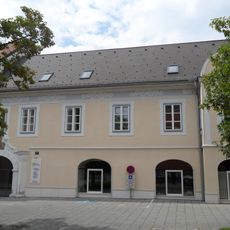
Wohn- und Geschäftshaus
286 m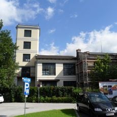
NK Schraubenwerke, Kessel- und Maschinenhaus, Kraftwerk mit Wasserturm, Kaltpresserei
519 m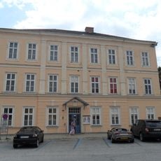
Musikschule
502 m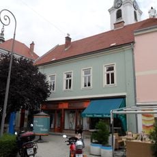
Wohn- und Geschäftshaus
328 mReviews
Visited this place? Tap the stars to rate it and share your experience / photos with the community! Try now! You can cancel it anytime.
Discover hidden gems everywhere you go!
From secret cafés to breathtaking viewpoints, skip the crowded tourist spots and find places that match your style. Our app makes it easy with voice search, smart filtering, route optimization, and insider tips from travelers worldwide. Download now for the complete mobile experience.

A unique approach to discovering new places❞
— Le Figaro
All the places worth exploring❞
— France Info
A tailor-made excursion in just a few clicks❞
— 20 Minutes