
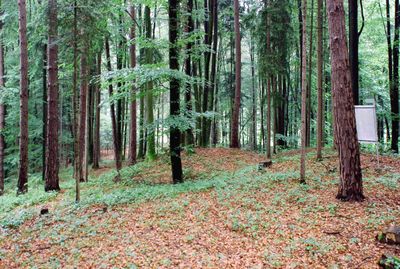
Grabhügelgruppe und römerzeitliches Siedlungsgebiet Otternitz
Grabhügelgruppe und römerzeitliches Siedlungsgebiet Otternitz
Location: Sankt Martin im Sulmtal
Address: Otternitz
GPS coordinates: 46.77737,15.31072
Latest update: March 4, 2025 09:28
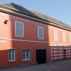
Feuerwehrmuseum, Groß Sankt Florian
5.1 km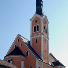
Pfarrkirche Groß Sankt Florian
5.1 km
Pfarrkirche St. Peter, Sankt Peter im Sulmtal
5.1 km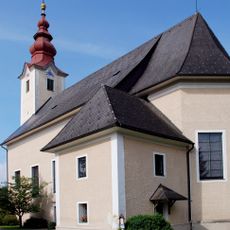
Pfarrkirche hl. Martin, Sankt Martin im Sulmtal
2.6 km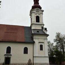
Pfarrkirche hl. Michael, Gleinstätten
5.2 km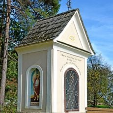
Nischen- /Kapellenbildstock
3.2 km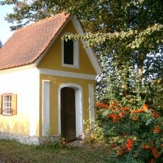
Steller-Kapelle
5 km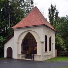
Kapelle hl. Antonius
5.2 km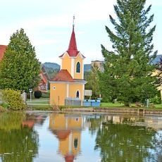
Flur-/Wegkapelle Zum Gegeißelten Heiland
4.9 km
Römerzeitliches Hügelgräberfeld Sulb
1.8 km
Römische Villa Grünau, Laßnitztal
4.7 km
Taborkogel
2.3 km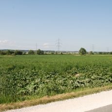
Römerzeitliche Villa rustica Grünau
4.8 km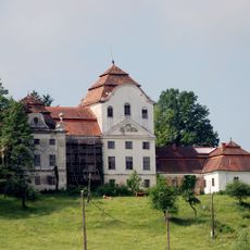
Schloss Welsberg
3.9 km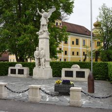
Kriegerdenkmal Gleinstätten
5.1 km
Freilandstation Kaiserriegel St. Martin Sulmtal Styria
3.8 km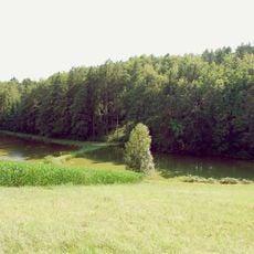
Hügelgräbergruppe Grubberg
3.2 km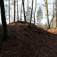
Barrow cemetery Pistorf
4.1 km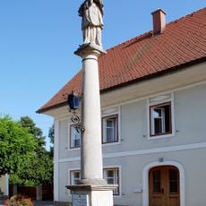
Nepomuk-Säule, Groß Sankt Florian
5 km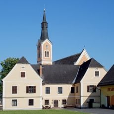
Pfarrhof Groß Sankt Florian
5.2 km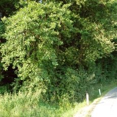
Grabhügelgruppe Großöden
4 km
Pfarrhof
5.1 km
Ehemaliges Kellerstöckl
5 km
Hügelgräber Michlgleinz, Mönichgleinz, St. Andrä im Sausal
4.2 km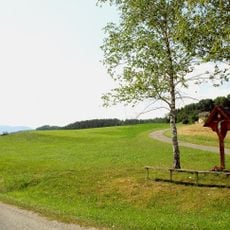
Fundstelle Hasreith, Unterbergla
3.2 km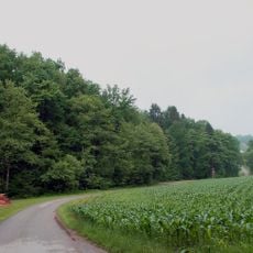
Grabhügelgruppe Hartwald – Graschach
2.4 km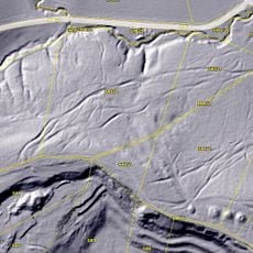
Graschach, römischer Grabhügel (Hartwald)
2.3 km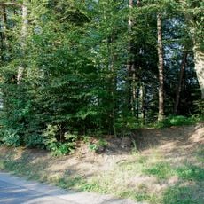
Hügelgräber Michlgleinz, Mönichgleinz, St. Andrä im Sausal
3 kmVisited this place? Tap the stars to rate it and share your experience / photos with the community! Try now! You can cancel it anytime.
Discover hidden gems everywhere you go!
From secret cafés to breathtaking viewpoints, skip the crowded tourist spots and find places that match your style. Our app makes it easy with voice search, smart filtering, route optimization, and insider tips from travelers worldwide. Download now for the complete mobile experience.

A unique approach to discovering new places❞
— Le Figaro
All the places worth exploring❞
— France Info
A tailor-made excursion in just a few clicks❞
— 20 Minutes